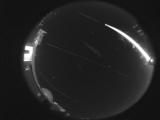
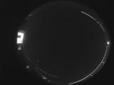
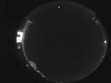
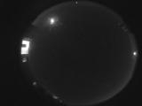
WSentinel capture software creates 3 primary event files; composite jpg, video(.mp4), and a spreadsheet(.csv) which contains a timehistory of energy, azimuth/elevation, and pixel mapping for the event as seen from the camera location: (see Spreadsheet Column Definitions here).
NOTE: The az/el data in the spreadsheet are approximations and offline calibration is required for refined assessments. Refined calibrations require use of the nightly composites which are available via the link on the right side of this page.
If you don't see an event, or you are looking for data over 30 days old, please contact us at: 
Node Events (last 30 days)
|
|
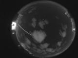
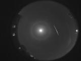
Date: March 31 2024
Time: 01:31:09.0 UTC
|
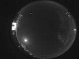
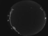
Date: March 31 2024
Time: 00:15:39.0 UTC
|
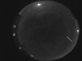
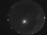
Date: March 30 2024
Time: 08:00:51.133 UTC
|
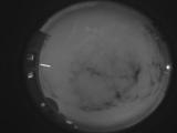
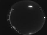
Date: March 30 2024
Time: 02:18:09.0 UTC
|
Date: March 30 2024
Time: 01:56:27.92 UTC
|
Date: March 29 2024
Time: 05:25:00.445 UTC
|
Date: March 29 2024
Time: 01:16:28.720 UTC
|
Date: March 29 2024
Time: 00:57:28.0 UTC
|
Date: March 29 2024
Time: 00:57:10.954 UTC
|
Date: March 28 2024
Time: 09:59:51.917 UTC
|
Date: March 27 2024
Time: 02:17:56.901 UTC
|
Date: March 26 2024
Time: 02:44:06.415 UTC
|
Date: March 22 2024
Time: 03:39:28.151 UTC
|
Date: March 21 2024
Time: 10:05:48.677 UTC
|
Date: March 21 2024
Time: 04:15:47.762 UTC
|
Date: March 20 2024
Time: 08:34:14.511 UTC
|
|
