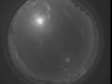
WSentinel capture software creates 3 primary event files; composite jpg, video(.mp4), and a spreadsheet(.csv) which contains a timehistory of energy, azimuth/elevation, and pixel mapping for the event as seen from the camera location: (see Spreadsheet Column Definitions here).
NOTE: The az/el data in the spreadsheet are approximations and offline calibration is required for refined assessments. Refined calibrations require use of the nightly composites which are available via the link on the right side of this page.
If you don't see an event, or you are looking for data over 30 days old, please contact us at: 
Node Events (last 30 days)
|
|
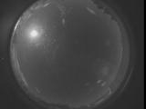
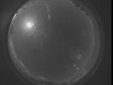
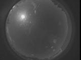
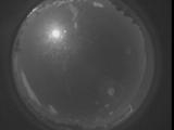
Date: March 24 2024
Time: 07:29:33.211 UTC
|
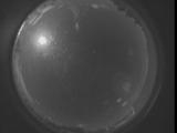
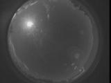
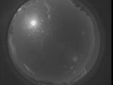
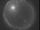
Date: March 24 2024
Time: 07:24:05.682 UTC
|
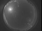
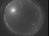
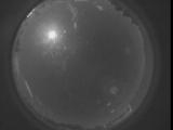
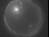
Date: March 24 2024
Time: 07:18:38.72 UTC
|
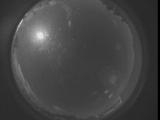
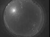
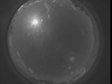
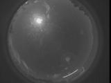
Date: March 24 2024
Time: 07:13:10.543 UTC
|
Date: March 24 2024
Time: 07:07:42.933 UTC
|
Date: March 24 2024
Time: 07:02:15.394 UTC
|
Date: March 24 2024
Time: 06:56:47.794 UTC
|
Date: March 24 2024
Time: 06:51:20.255 UTC
|
Date: March 24 2024
Time: 06:45:52.655 UTC
|

Date: March 24 2024
Time: 06:40:25.116 UTC
|
Date: March 24 2024
Time: 06:34:57.516 UTC
|
Date: March 24 2024
Time: 06:29:29.977 UTC
|

Date: March 24 2024
Time: 06:24:02.377 UTC
|
Date: March 24 2024
Time: 06:18:34.838 UTC
|
Date: March 24 2024
Time: 06:13:07.228 UTC
|
Date: March 24 2024
Time: 06:07:39.699 UTC
|
Date: March 24 2024
Time: 06:02:12.89 UTC
|

Date: March 24 2024
Time: 05:56:44.550 UTC
|
Date: March 24 2024
Time: 05:51:16.950 UTC
|
Date: March 24 2024
Time: 05:45:49.411 UTC
|
|
