WSentinel capture software creates 3 primary event files; composite jpg, video(.mp4), and a spreadsheet(.csv) which contains a timehistory of energy, azimuth/elevation, and pixel mapping for the event as seen from the camera location: (see Spreadsheet Column Definitions here).
NOTE: The az/el data in the spreadsheet are approximations and offline calibration is required for refined assessments. Refined calibrations require use of the nightly composites which are available via the link on the right side of this page.
If you don't see an event, or you are looking for data over 30 days old, please contact us at: 
Node Events (last 30 days)
|
|
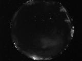
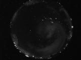
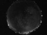
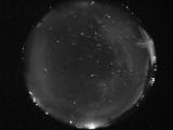
Date: April 2 2024
Time: 04:15:41.301 UTC
|
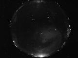
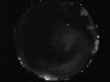
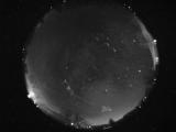
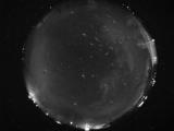
Date: April 2 2024
Time: 03:49:09.105 UTC
|
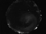
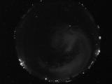
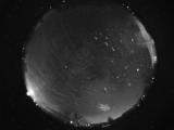
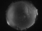
Date: April 2 2024
Time: 03:33:24.701 UTC
|
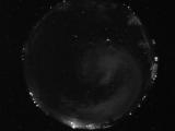
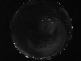
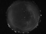
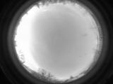
Date: April 2 2024
Time: 03:19:13.116 UTC
|
Date: April 2 2024
Time: 03:15:24.725 UTC
|
Date: April 2 2024
Time: 03:12:14.413 UTC
|
Date: April 2 2024
Time: 03:10:11.335 UTC
|
Date: April 2 2024
Time: 03:08:45.819 UTC
|
Date: April 2 2024
Time: 03:08:22.991 UTC
|
Date: April 2 2024
Time: 03:08:18.491 UTC
|
Date: April 2 2024
Time: 03:08:02.272 UTC
|
Date: April 2 2024
Time: 03:06:16.168 UTC
|
Date: April 2 2024
Time: 03:00:31.637 UTC
|
Date: April 2 2024
Time: 02:57:05.746 UTC
|
Date: April 2 2024
Time: 02:57:02.105 UTC
|
Date: April 2 2024
Time: 02:42:48.166 UTC
|
Date: April 2 2024
Time: 02:42:38.744 UTC
|
Date: April 2 2024
Time: 02:42:24.135 UTC
|
Date: April 2 2024
Time: 02:37:31.478 UTC
|
Date: April 1 2024
Time: 13:20:44.613 UTC
|
|
