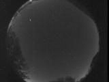
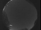
WSentinel capture software creates 3 primary event files; composite jpg, video(.mp4), and a spreadsheet(.csv) which contains a timehistory of energy, azimuth/elevation, and pixel mapping for the event as seen from the camera location: (see Spreadsheet Column Definitions here).
NOTE: The az/el data in the spreadsheet are approximations and offline calibration is required for refined assessments. Refined calibrations require use of the nightly composites which are available via the link on the right side of this page.
If you don't see an event, or you are looking for data over 10 days old, please contact us at: 
Node Events (last 30 days)
|
|

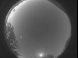
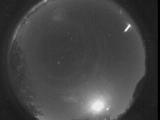
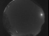
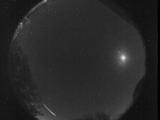
Date: May 8 2026
Time: 05:53:05.659 UTC
|
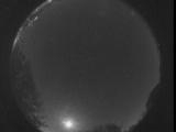
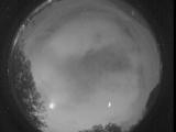
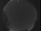
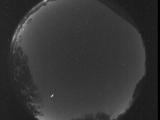
Date: May 6 2026
Time: 11:48:39.481 UTC
|
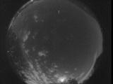
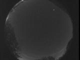
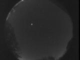
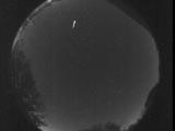
Date: May 6 2026
Time: 10:06:45.172 UTC
|
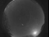
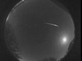
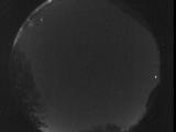
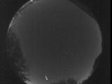
Date: May 5 2026
Time: 11:15:56.618 UTC
|
Date: May 2 2026
Time: 10:50:02.391 UTC
|
Date: May 1 2026
Time: 08:41:03.884 UTC
|
Date: April 30 2026
Time: 03:56:11.516 UTC
|
Date: April 28 2026
Time: 11:27:32.275 UTC
|
Date: April 27 2026
Time: 08:14:20.800 UTC
|
Date: April 24 2026
Time: 07:41:47.419 UTC
|
Date: April 23 2026
Time: 10:19:37.908 UTC
|
Date: April 23 2026
Time: 09:24:32.979 UTC
|
Date: April 23 2026
Time: 08:19:22.370 UTC
|
Date: April 23 2026
Time: 05:15:23.952 UTC
|
Date: April 22 2026
Time: 11:49:05.969 UTC
|
Date: April 22 2026
Time: 09:49:35.301 UTC
|
Date: April 22 2026
Time: 09:14:24.572 UTC
|

Date: April 22 2026
Time: 09:11:19.2 UTC
|
Date: April 22 2026
Time: 09:04:30.92 UTC
|
Date: April 15 2026
Time: 08:54:38.786 UTC
|
|
