WSentinel capture software creates 3 primary event files; composite jpg, video(.mp4), and a spreadsheet(.csv) which contains a timehistory of energy, azimuth/elevation, and pixel mapping for the event as seen from the camera location: (see Spreadsheet Column Definitions here).
NOTE: The az/el data in the spreadsheet are approximations and offline calibration is required for refined assessments. Refined calibrations require use of the nightly composites which are available via the link on the right side of this page.
If you don't see an event, or you are looking for data over 10 days old, please contact us at: 
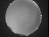
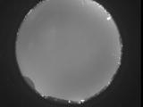
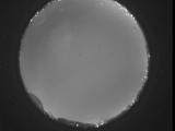
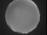
Node Events (last 30 days)
|
|
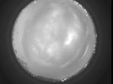
Date: July 30 2026
Time: 11:18:58.365 UTC
|
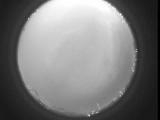
Date: July 30 2026
Time: 11:12:23.462 UTC
|
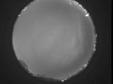
Date: July 30 2026
Time: 11:04:56.730 UTC
|
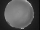
Date: July 30 2026
Time: 10:59:18.597 UTC
|
Date: July 30 2026
Time: 10:57:51.298 UTC
|
Date: July 30 2026
Time: 10:48:31.408 UTC
|
Date: July 30 2026
Time: 10:47:34.579 UTC
|
Date: July 30 2026
Time: 10:45:58.882 UTC
|
Date: July 30 2026
Time: 10:45:20.372 UTC
|
Date: July 30 2026
Time: 10:35:49.971 UTC
|
Date: July 30 2026
Time: 10:34:54.213 UTC
|
Date: July 30 2026
Time: 10:34:40.463 UTC
|

Date: July 30 2026
Time: 10:34:27.13 UTC
|

Date: July 30 2026
Time: 10:34:22.873 UTC
|
Date: July 30 2026
Time: 10:32:14.966 UTC
|
Date: July 30 2026
Time: 09:55:11.109 UTC
|
Date: July 30 2026
Time: 09:49:57.735 UTC
|
Date: July 30 2026
Time: 09:43:47.693 UTC
|
Date: July 30 2026
Time: 09:37:08.392 UTC
|
Date: July 30 2026
Time: 09:31:36.786 UTC
|
|
