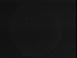
WSentinel capture software creates 3 primary event files; composite jpg, video(.mp4), and a spreadsheet(.csv) which contains a timehistory of energy, azimuth/elevation, and pixel mapping for the event as seen from the camera location: (see Spreadsheet Column Definitions here).
NOTE: The az/el data in the spreadsheet are approximations and offline calibration is required for refined assessments. Refined calibrations require use of the nightly composites which are available via the link on the right side of this page.
If you don't see an event, or you are looking for data over 10 days old, please contact us at: 
Node Events (last 30 days)
|
|
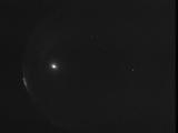
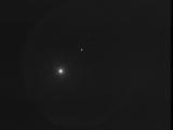
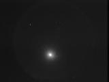
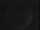
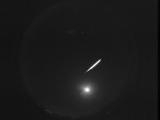
Date: July 9 2026
Time: 11:26:51.843 UTC
|
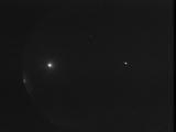
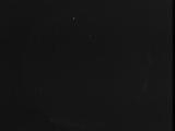
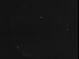
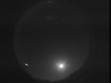
Date: July 9 2026
Time: 11:06:09.260 UTC
|
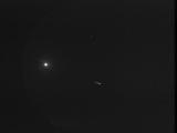
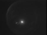
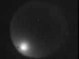
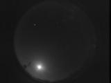
Date: July 9 2026
Time: 10:41:58.105 UTC
|
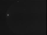
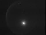
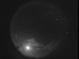
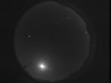
Date: July 9 2026
Time: 08:54:03.932 UTC
|
Date: July 8 2026
Time: 11:25:13.314 UTC
|
Date: July 7 2026
Time: 03:49:49.673 UTC
|
Date: July 6 2026
Time: 11:40:03.43 UTC
|
Date: July 5 2026
Time: 11:36:14.103 UTC
|
Date: July 5 2026
Time: 10:47:39.993 UTC
|

Date: July 5 2026
Time: 10:40:58.689 UTC
|
Date: July 2 2026
Time: 03:21:50.964 UTC
|
Date: June 30 2026
Time: 04:13:50.46 UTC
|
Date: June 29 2026
Time: 04:16:08.587 UTC
|
Date: June 28 2026
Time: 10:41:53.324 UTC
|
Date: June 28 2026
Time: 06:33:25.629 UTC
|
Date: June 28 2026
Time: 03:27:29.891 UTC
|
Date: June 27 2026
Time: 03:02:28.212 UTC
|
Date: June 25 2026
Time: 04:01:54.254 UTC
|
Date: June 24 2026
Time: 07:53:50.610 UTC
|
Date: June 20 2026
Time: 11:48:20.80 UTC
|
|
