WSentinel capture software creates 3 primary event files; composite jpg, video(.mp4), and a spreadsheet(.csv) which contains a timehistory of energy, azimuth/elevation, and pixel mapping for the event as seen from the camera location: (see Spreadsheet Column Definitions here).
NOTE: The az/el data in the spreadsheet are approximations and offline calibration is required for refined assessments. Refined calibrations require use of the nightly composites which are available via the link on the right side of this page.
If you don't see an event, or you are looking for data over 30 days old, please contact us at: 
Node Events (last 30 days)
|
|
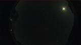
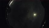
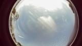
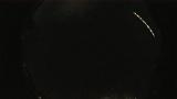
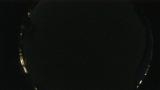
Date: April 26 2024
Time: 09:26:20.293 UTC
|
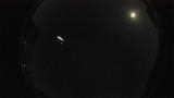
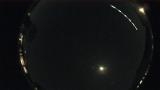
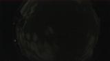
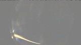
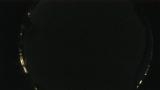
Date: April 25 2024
Time: 08:53:54.18 UTC
|
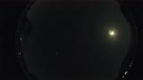
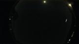
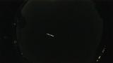
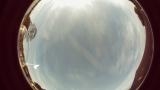
Date: April 25 2024
Time: 06:57:19.0 UTC
|
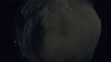
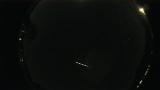
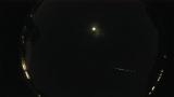
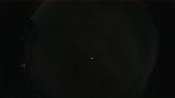
Date: April 22 2024
Time: 07:35:49.41 UTC
|
Date: April 22 2024
Time: 04:04:35.686 UTC
|
Date: April 20 2024
Time: 01:01:29.307 UTC
|
Date: April 19 2024
Time: 05:51:44.796 UTC
|
Date: April 18 2024
Time: 06:03:21.811 UTC
|
Date: April 17 2024
Time: 21:26:46.0 UTC
|
Date: April 17 2024
Time: 08:32:14.0 UTC
|
Date: April 17 2024
Time: 05:41:53.91 UTC
|
Date: April 16 2024
Time: 01:40:40.0 UTC
|
Date: April 14 2024
Time: 03:36:22.310 UTC
|
Date: April 13 2024
Time: 01:41:00.0 UTC
|
Date: April 12 2024
Time: 00:22:01.300 UTC
|
Date: April 10 2024
Time: 05:40:38.0 UTC
|
Date: April 8 2024
Time: 00:50:24.0 UTC
|
Date: April 8 2024
Time: 00:50:20.0 UTC
|
Date: April 7 2024
Time: 23:17:40.0 UTC
|
Date: April 7 2024
Time: 05:27:59.784 UTC
|
|
