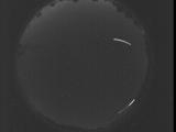
WSentinel capture software creates 3 primary event files; composite jpg, video(.mp4), and a spreadsheet(.csv) which contains a timehistory of energy, azimuth/elevation, and pixel mapping for the event as seen from the camera location: (see Spreadsheet Column Definitions here).
NOTE: The az/el data in the spreadsheet are approximations and offline calibration is required for refined assessments. Refined calibrations require use of the nightly composites which are available via the link on the right side of this page.
If you don't see an event, or you are looking for data over 30 days old, please contact us at: 
Node Events (last 30 days)
|
|
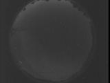
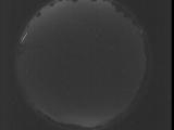
Date: July 25 2025
Time: 06:09:12.107 UTC
|

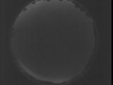
Date: July 25 2025
Time: 05:52:49.400 UTC
|

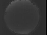
Date: July 25 2025
Time: 05:47:21.791 UTC
|

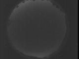
Date: July 25 2025
Time: 05:41:54.252 UTC
|

Date: July 25 2025
Time: 05:36:26.633 UTC
|

Date: July 25 2025
Time: 05:30:59.95 UTC
|

Date: July 25 2025
Time: 05:25:31.486 UTC
|

Date: July 25 2025
Time: 05:20:03.937 UTC
|

Date: July 25 2025
Time: 05:14:36.328 UTC
|

Date: July 25 2025
Time: 05:09:08.779 UTC
|

Date: July 25 2025
Time: 05:03:41.170 UTC
|
Date: July 25 2025
Time: 04:58:13.621 UTC
|

Date: July 25 2025
Time: 04:52:46.12 UTC
|
Date: July 25 2025
Time: 04:47:18.463 UTC
|
Date: July 25 2025
Time: 04:41:50.855 UTC
|
Date: July 25 2025
Time: 04:36:23.316 UTC
|
Date: July 25 2025
Time: 04:30:55.697 UTC
|
Date: July 25 2025
Time: 04:25:28.158 UTC
|
Date: July 25 2025
Time: 04:20:00.549 UTC
|
Date: July 25 2025
Time: 04:14:33.0 UTC
|
|
