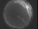
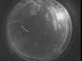
WSentinel capture software creates 3 primary event files; composite jpg, video(.mp4), and a spreadsheet(.csv) which contains a timehistory of energy, azimuth/elevation, and pixel mapping for the event as seen from the camera location: (see Spreadsheet Column Definitions here).
NOTE: The az/el data in the spreadsheet are approximations and offline calibration is required for refined assessments. Refined calibrations require use of the nightly composites which are available via the link on the right side of this page.
If you don't see an event, or you are looking for data over 30 days old, please contact us at: 
Node Events (last 30 days)
|
|
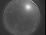
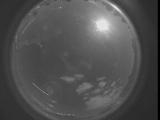
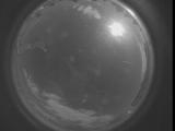
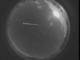
Date: September 8 2025
Time: 03:19:19.235 UTC
|
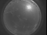
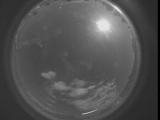
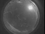
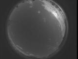
Date: September 8 2025
Time: 03:13:51.685 UTC
|
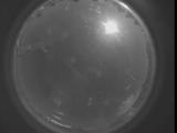
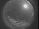
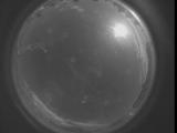
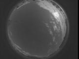
Date: September 8 2025
Time: 03:08:24.75 UTC
|
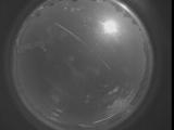
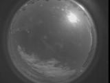
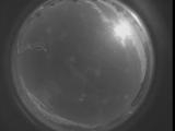
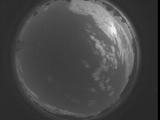
Date: September 8 2025
Time: 03:02:56.535 UTC
|
Date: September 8 2025
Time: 02:57:28.915 UTC
|
Date: September 8 2025
Time: 02:52:01.375 UTC
|
Date: September 8 2025
Time: 02:46:33.765 UTC
|
Date: September 8 2025
Time: 02:41:06.215 UTC
|
Date: September 8 2025
Time: 02:35:38.605 UTC
|
Date: September 8 2025
Time: 02:30:11.55 UTC
|
Date: September 8 2025
Time: 02:24:43.445 UTC
|

Date: September 8 2025
Time: 02:19:15.904 UTC
|
Date: September 8 2025
Time: 02:13:48.285 UTC
|
Date: September 8 2025
Time: 02:08:20.745 UTC
|
Date: September 8 2025
Time: 02:02:53.134 UTC
|
Date: September 8 2025
Time: 01:57:25.584 UTC
|
Date: September 8 2025
Time: 01:51:57.975 UTC
|
Date: September 8 2025
Time: 01:46:30.424 UTC
|

Date: September 8 2025
Time: 01:41:02.814 UTC
|
Date: September 8 2025
Time: 01:35:35.274 UTC
|
|
