Spalding Allsky Obs, Mountain View High, CA (37.3600, -122.0700, 60m) Node 17 Map Popup
Composites
WSentinel capture software creates 3 primary event files; composite jpg, video(.mp4), and a spreadsheet(.csv) which contains a timehistory of energy, azimuth/elevation, and pixel mapping for the event as seen from the camera location: (see Spreadsheet Column Definitions here).
NOTE: The az/el data in the spreadsheet are approximations and offline calibration is required for refined assessments. Refined calibrations require use of the nightly composites which are available via the link on the right side of this page.
If you don't see an event, or you are looking for data over 30 days old, please contact us at: 
Node Events (last 30 days)
|
|
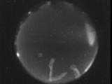
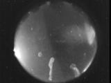
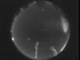
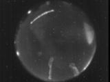
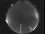
Date: August 28 2025
Time: 09:09:45.921 UTC
|
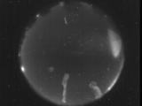
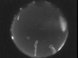
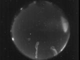
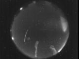
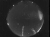
Date: August 28 2025
Time: 06:51:01.906 UTC
|
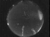
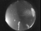
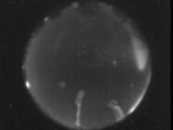
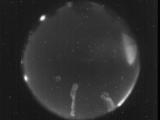
Date: August 28 2025
Time: 06:50:49.896 UTC
|
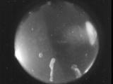
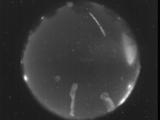
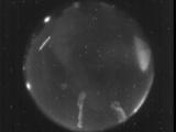
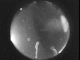
Date: August 28 2025
Time: 04:56:33.65 UTC
|
Date: August 28 2025
Time: 04:56:30.395 UTC
|
Date: August 28 2025
Time: 04:51:40.284 UTC
|
Date: August 28 2025
Time: 04:22:31.157 UTC
|
Date: August 28 2025
Time: 03:59:24.187 UTC
|
Date: August 27 2025
Time: 10:15:42.764 UTC
|
Date: August 26 2025
Time: 08:23:16.214 UTC
|
Date: August 23 2025
Time: 04:33:04.714 UTC
|
Date: August 22 2025
Time: 08:10:29.408 UTC
|
Date: August 22 2025
Time: 08:09:53.911 UTC
|
Date: August 22 2025
Time: 04:49:53.34 UTC
|
Date: August 22 2025
Time: 04:48:04.53 UTC
|
Date: August 22 2025
Time: 03:54:51.134 UTC
|
Date: August 22 2025
Time: 03:54:47.634 UTC
|

Date: August 21 2025
Time: 06:42:05.819 UTC
|
Date: August 21 2025
Time: 04:39:23.568 UTC
|

Date: August 21 2025
Time: 04:39:18.158 UTC
|
|
