WSentinel capture software creates 3 primary event files; composite jpg, video(.mp4), and a spreadsheet(.csv) which contains a timehistory of energy, azimuth/elevation, and pixel mapping for the event as seen from the camera location: (see Spreadsheet Column Definitions here).
NOTE: The az/el data in the spreadsheet are approximations and offline calibration is required for refined assessments. Refined calibrations require use of the nightly composites which are available via the link on the right side of this page.
If you don't see an event, or you are looking for data over 30 days old, please contact us at: 
Node Events (last 30 days)
|
|

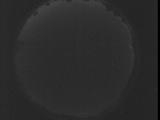
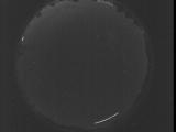
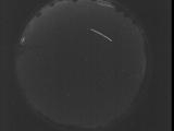
Date: July 30 2025
Time: 03:54:45.485 UTC
|

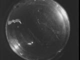
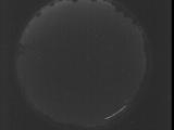
Date: July 30 2025
Time: 03:49:17.876 UTC
|
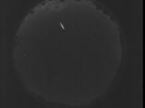
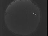
Date: July 30 2025
Time: 03:43:50.337 UTC
|

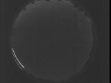
Date: July 30 2025
Time: 03:38:22.718 UTC
|
Date: July 30 2025
Time: 03:32:55.180 UTC
|
Date: July 30 2025
Time: 03:27:27.572 UTC
|

Date: July 30 2025
Time: 03:22:00.22 UTC
|

Date: July 30 2025
Time: 03:16:32.413 UTC
|

Date: July 30 2025
Time: 03:11:04.865 UTC
|

Date: July 30 2025
Time: 03:05:37.256 UTC
|
Date: July 30 2025
Time: 03:00:09.708 UTC
|
Date: July 30 2025
Time: 02:54:42.98 UTC
|
Date: July 30 2025
Time: 02:49:14.550 UTC
|
Date: July 30 2025
Time: 02:43:46.942 UTC
|
Date: July 30 2025
Time: 02:38:19.403 UTC
|
Date: July 30 2025
Time: 02:32:51.783 UTC
|
Date: July 30 2025
Time: 02:27:24.246 UTC
|

Date: July 30 2025
Time: 02:21:56.637 UTC
|
Date: July 30 2025
Time: 02:16:29.88 UTC
|
Date: July 30 2025
Time: 02:11:01.480 UTC
|
|
