WSentinel capture software creates 3 primary event files; composite jpg, video(.mp4), and a spreadsheet(.csv) which contains a timehistory of energy, azimuth/elevation, and pixel mapping for the event as seen from the camera location: (see Spreadsheet Column Definitions here).
NOTE: The az/el data in the spreadsheet are approximations and offline calibration is required for refined assessments. Refined calibrations require use of the nightly composites which are available via the link on the right side of this page.
If you don't see an event, or you are looking for data over 30 days old, please contact us at: 
Node Events (last 30 days)
|
|
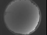
Date: July 28 2025
Time: 08:54:12.42 UTC
|
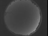
Date: July 28 2025
Time: 08:48:44.503 UTC
|
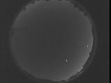
Date: July 28 2025
Time: 08:43:16.894 UTC
|
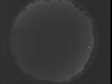
Date: July 28 2025
Time: 08:37:49.345 UTC
|
Date: July 28 2025
Time: 08:32:21.735 UTC
|

Date: July 28 2025
Time: 08:26:54.187 UTC
|

Date: July 28 2025
Time: 08:21:26.577 UTC
|

Date: July 28 2025
Time: 08:15:59.28 UTC
|

Date: July 28 2025
Time: 08:10:31.419 UTC
|

Date: July 28 2025
Time: 08:05:03.880 UTC
|

Date: July 28 2025
Time: 07:59:36.261 UTC
|

Date: July 28 2025
Time: 07:54:08.722 UTC
|

Date: July 28 2025
Time: 07:48:41.113 UTC
|

Date: July 28 2025
Time: 07:43:13.564 UTC
|

Date: July 28 2025
Time: 07:37:45.955 UTC
|

Date: July 28 2025
Time: 07:32:18.405 UTC
|
Date: July 28 2025
Time: 07:26:50.796 UTC
|

Date: July 28 2025
Time: 07:21:23.247 UTC
|

Date: July 28 2025
Time: 07:15:55.638 UTC
|

Date: July 28 2025
Time: 07:10:28.89 UTC
|
|
