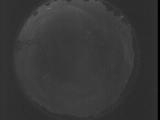
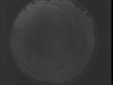
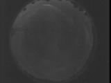
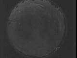
WSentinel capture software creates 3 primary event files; composite jpg, video(.mp4), and a spreadsheet(.csv) which contains a timehistory of energy, azimuth/elevation, and pixel mapping for the event as seen from the camera location: (see Spreadsheet Column Definitions here).
NOTE: The az/el data in the spreadsheet are approximations and offline calibration is required for refined assessments. Refined calibrations require use of the nightly composites which are available via the link on the right side of this page.
If you don't see an event, or you are looking for data over 30 days old, please contact us at: 
Node Events (last 30 days)
|
|

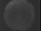
Date: July 29 2025
Time: 01:58:15.291 UTC
|
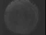
Date: July 29 2025
Time: 01:57:41.821 UTC
|
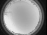
Date: July 29 2025
Time: 01:57:08.361 UTC
|
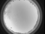
Date: July 29 2025
Time: 01:56:34.891 UTC
|
Date: July 29 2025
Time: 01:56:01.431 UTC
|
Date: July 29 2025
Time: 01:55:27.961 UTC
|
Date: July 29 2025
Time: 01:54:54.501 UTC
|
Date: July 29 2025
Time: 00:14:56.639 UTC
|

Date: July 29 2025
Time: 00:09:12.681 UTC
|

Date: July 29 2025
Time: 00:08:53.161 UTC
|

Date: July 29 2025
Time: 00:08:46.522 UTC
|

Date: July 29 2025
Time: 00:08:44.152 UTC
|

Date: July 29 2025
Time: 00:08:42.181 UTC
|

Date: July 29 2025
Time: 00:08:38.881 UTC
|
Date: July 29 2025
Time: 00:08:34.812 UTC
|

Date: July 29 2025
Time: 00:08:31.271 UTC
|

Date: July 29 2025
Time: 00:08:27.972 UTC
|

Date: July 29 2025
Time: 00:08:25.131 UTC
|
Date: July 29 2025
Time: 00:06:11.742 UTC
|
Date: July 28 2025
Time: 08:59:39.661 UTC
|
|
