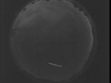
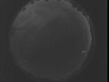
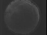
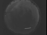
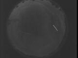
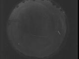
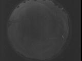
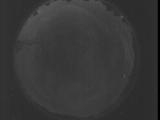
WSentinel capture software creates 3 primary event files; composite jpg, video(.mp4), and a spreadsheet(.csv) which contains a timehistory of energy, azimuth/elevation, and pixel mapping for the event as seen from the camera location: (see Spreadsheet Column Definitions here).
NOTE: The az/el data in the spreadsheet are approximations and offline calibration is required for refined assessments. Refined calibrations require use of the nightly composites which are available via the link on the right side of this page.
If you don't see an event, or you are looking for data over 30 days old, please contact us at: 
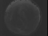
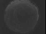
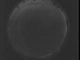
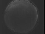
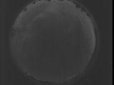
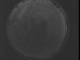
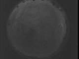
Node Events (last 30 days)
|
|
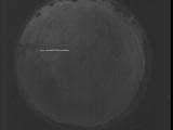
Date: July 29 2025
Time: 03:16:48.102 UTC
|
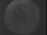
Date: July 29 2025
Time: 03:11:20.554 UTC
|
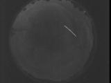
Date: July 29 2025
Time: 03:05:52.945 UTC
|
Date: July 29 2025
Time: 03:00:25.397 UTC
|
Date: July 29 2025
Time: 02:54:57.787 UTC
|
Date: July 29 2025
Time: 02:49:30.249 UTC
|
Date: July 29 2025
Time: 02:44:02.630 UTC
|
Date: July 29 2025
Time: 02:38:35.91 UTC
|
Date: July 29 2025
Time: 02:33:07.482 UTC
|
Date: July 29 2025
Time: 02:27:39.934 UTC
|
Date: July 29 2025
Time: 02:22:12.325 UTC
|
Date: July 29 2025
Time: 02:16:44.776 UTC
|
Date: July 29 2025
Time: 02:11:17.168 UTC
|
Date: July 29 2025
Time: 02:05:49.619 UTC
|
Date: July 29 2025
Time: 02:01:36.80 UTC
|
Date: July 29 2025
Time: 02:01:02.620 UTC
|
Date: July 29 2025
Time: 02:00:29.150 UTC
|
Date: July 29 2025
Time: 01:59:55.690 UTC
|
Date: July 29 2025
Time: 01:59:22.220 UTC
|
Date: July 29 2025
Time: 01:58:48.761 UTC
|
|
