WSentinel capture software creates 3 primary event files; composite jpg, video(.mp4), and a spreadsheet(.csv) which contains a timehistory of energy, azimuth/elevation, and pixel mapping for the event as seen from the camera location: (see Spreadsheet Column Definitions here).
NOTE: The az/el data in the spreadsheet are approximations and offline calibration is required for refined assessments. Refined calibrations require use of the nightly composites which are available via the link on the right side of this page.
If you don't see an event, or you are looking for data over 30 days old, please contact us at: 
Node Events (last 30 days)
|
|
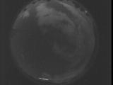
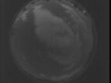
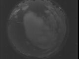
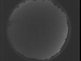
Date: July 28 2025
Time: 01:47:53.629 UTC
|
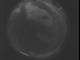
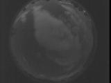
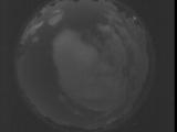
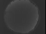
Date: July 28 2025
Time: 01:47:20.159 UTC
|
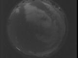
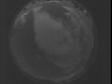
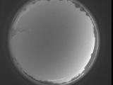
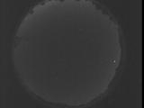
Date: July 28 2025
Time: 01:46:46.700 UTC
|
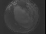
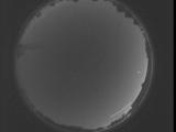
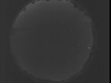
Date: July 28 2025
Time: 01:46:13.230 UTC
|
Date: July 28 2025
Time: 01:45:39.770 UTC
|
Date: July 28 2025
Time: 01:45:06.301 UTC
|
Date: July 28 2025
Time: 01:44:32.840 UTC
|
Date: July 28 2025
Time: 01:43:59.370 UTC
|
Date: July 28 2025
Time: 01:43:25.900 UTC
|
Date: July 28 2025
Time: 01:42:52.440 UTC
|
Date: July 25 2025
Time: 08:58:27.56 UTC
|
Date: July 25 2025
Time: 08:47:31.908 UTC
|
Date: July 25 2025
Time: 08:42:04.289 UTC
|
Date: July 25 2025
Time: 08:36:36.750 UTC
|
Date: July 25 2025
Time: 08:31:09.141 UTC
|
Date: July 25 2025
Time: 08:25:41.592 UTC
|

Date: July 25 2025
Time: 08:20:13.983 UTC
|
Date: July 25 2025
Time: 08:14:46.434 UTC
|

Date: July 25 2025
Time: 08:09:18.825 UTC
|
Date: July 25 2025
Time: 08:03:51.276 UTC
|
|
