WSentinel capture software creates 3 primary event files; composite jpg, video(.mp4), and a spreadsheet(.csv) which contains a timehistory of energy, azimuth/elevation, and pixel mapping for the event as seen from the camera location: (see Spreadsheet Column Definitions here).
NOTE: The az/el data in the spreadsheet are approximations and offline calibration is required for refined assessments. Refined calibrations require use of the nightly composites which are available via the link on the right side of this page.
If you don't see an event, or you are looking for data over 30 days old, please contact us at: 
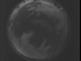
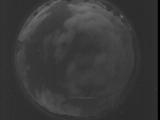
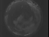
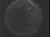
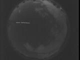
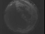
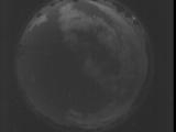
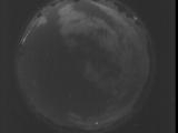
Node Events (last 30 days)
|
|
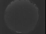
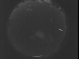
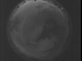
Date: July 28 2025
Time: 03:21:08.809 UTC
|
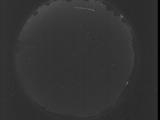
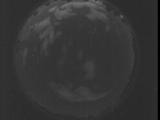
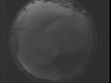
Date: July 28 2025
Time: 03:15:41.200 UTC
|
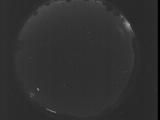
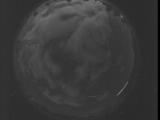
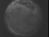
Date: July 28 2025
Time: 03:10:13.652 UTC
|
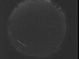
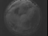
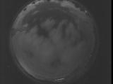
Date: July 28 2025
Time: 03:04:46.43 UTC
|
Date: July 28 2025
Time: 02:59:18.494 UTC
|
Date: July 28 2025
Time: 02:53:50.885 UTC
|
Date: July 28 2025
Time: 02:48:23.346 UTC
|
Date: July 28 2025
Time: 02:42:55.727 UTC
|
Date: July 28 2025
Time: 02:37:28.189 UTC
|
Date: July 28 2025
Time: 02:32:00.580 UTC
|
Date: July 28 2025
Time: 02:26:33.32 UTC
|
Date: July 28 2025
Time: 02:21:05.422 UTC
|
Date: July 28 2025
Time: 02:15:37.873 UTC
|
Date: July 28 2025
Time: 02:10:10.265 UTC
|
Date: July 28 2025
Time: 02:04:42.716 UTC
|
Date: July 28 2025
Time: 01:59:15.107 UTC
|
Date: July 28 2025
Time: 01:53:47.558 UTC
|
Date: July 28 2025
Time: 01:49:34.19 UTC
|
Date: July 28 2025
Time: 01:49:00.559 UTC
|
Date: July 28 2025
Time: 01:48:27.89 UTC
|
|
