WSentinel capture software creates 3 primary event files; composite jpg, video(.mp4), and a spreadsheet(.csv) which contains a timehistory of energy, azimuth/elevation, and pixel mapping for the event as seen from the camera location: (see Spreadsheet Column Definitions here).
NOTE: The az/el data in the spreadsheet are approximations and offline calibration is required for refined assessments. Refined calibrations require use of the nightly composites which are available via the link on the right side of this page.
If you don't see an event, or you are looking for data over 30 days old, please contact us at: 
Node Events (last 30 days)
|
|
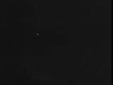
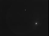
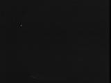
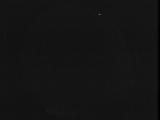
Date: August 1 2025
Time: 09:51:30.381 UTC
|
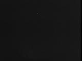
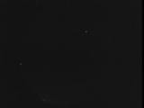
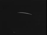
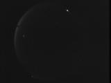
Date: July 31 2025
Time: 10:57:07.373 UTC
|
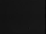
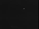
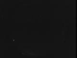
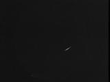
Date: July 31 2025
Time: 08:26:20.817 UTC
|
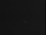
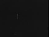
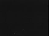
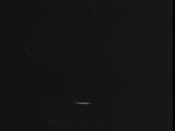
Date: July 31 2025
Time: 07:36:15.385 UTC
|
Date: July 31 2025
Time: 03:30:44.184 UTC
|
Date: July 28 2025
Time: 03:30:19.119 UTC
|
Date: July 27 2025
Time: 10:33:38.913 UTC
|
Date: July 27 2025
Time: 10:15:31.899 UTC
|
Date: July 27 2025
Time: 09:29:06.715 UTC
|

Date: July 27 2025
Time: 08:50:34.518 UTC
|
Date: July 27 2025
Time: 07:09:15.992 UTC
|
Date: July 27 2025
Time: 03:55:00.289 UTC
|
Date: July 26 2025
Time: 07:18:35.313 UTC
|
Date: July 26 2025
Time: 03:10:55.44 UTC
|

Date: July 26 2025
Time: 03:05:45.978 UTC
|
Date: July 25 2025
Time: 11:45:29.438 UTC
|

Date: July 25 2025
Time: 11:24:47.803 UTC
|
Date: July 24 2025
Time: 04:56:26.231 UTC
|
Date: July 23 2025
Time: 10:19:18.924 UTC
|

Date: July 23 2025
Time: 03:57:35.958 UTC
|
|
