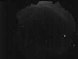
WSentinel capture software creates 3 primary event files; composite jpg, video(.mp4), and a spreadsheet(.csv) which contains a timehistory of energy, azimuth/elevation, and pixel mapping for the event as seen from the camera location: (see Spreadsheet Column Definitions here).
NOTE: The az/el data in the spreadsheet are approximations and offline calibration is required for refined assessments. Refined calibrations require use of the nightly composites which are available via the link on the right side of this page.
If you don't see an event, or you are looking for data over 10 days old, please contact us at: 
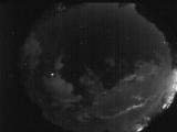
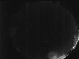
Node Events (last 30 days)
|
|
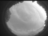
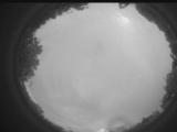
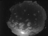
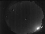
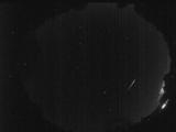
Date: July 12 2026
Time: 01:52:48.149 UTC
|
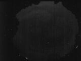
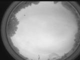
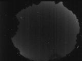
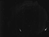
Date: July 10 2026
Time: 02:52:45.585 UTC
|
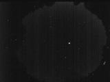
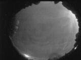
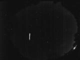
Date: July 8 2026
Time: 03:11:13.767 UTC
|
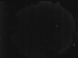
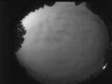
Date: July 7 2026
Time: 03:15:20.274 UTC
|
Date: July 6 2026
Time: 01:53:50.108 UTC
|
Date: July 5 2026
Time: 03:42:04.61 UTC
|
Date: July 4 2026
Time: 22:56:15.288 UTC
|

Date: July 4 2026
Time: 04:17:41.241 UTC
|
Date: July 3 2026
Time: 04:31:40.955 UTC
|
Date: July 2 2026
Time: 06:31:57.624 UTC
|
Date: July 1 2026
Time: 02:40:57.721 UTC
|
Date: June 29 2026
Time: 02:20:58.873 UTC
|
Date: June 27 2026
Time: 02:37:18.556 UTC
|
Date: June 26 2026
Time: 05:49:38.914 UTC
|
Date: June 25 2026
Time: 00:50:37.570 UTC
|
Date: June 24 2026
Time: 06:24:48.298 UTC
|
Date: June 24 2026
Time: 05:44:42.855 UTC
|
Date: June 23 2026
Time: 04:51:36.407 UTC
|
Date: June 23 2026
Time: 02:49:00.168 UTC
|
Date: June 21 2026
Time: 04:52:11.480 UTC
|
|
