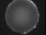
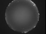
WSentinel capture software creates 3 primary event files; composite jpg, video(.mp4), and a spreadsheet(.csv) which contains a timehistory of energy, azimuth/elevation, and pixel mapping for the event as seen from the camera location: (see Spreadsheet Column Definitions here).
NOTE: The az/el data in the spreadsheet are approximations and offline calibration is required for refined assessments. Refined calibrations require use of the nightly composites which are available via the link on the right side of this page.
If you don't see an event, or you are looking for data over 10 days old, please contact us at: 
Node Events (last 30 days)
|
|
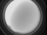
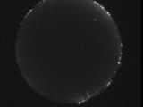
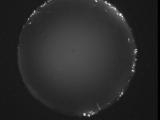
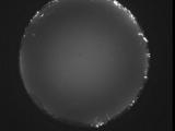
Date: July 12 2026
Time: 10:56:41.51 UTC
|
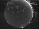
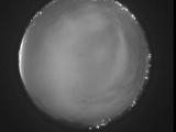
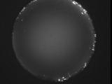
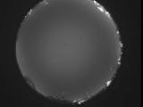
Date: July 12 2026
Time: 03:03:17.204 UTC
|
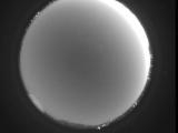
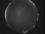
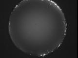
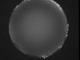
Date: July 12 2026
Time: 02:42:37.281 UTC
|
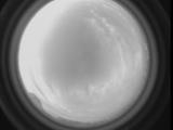
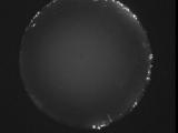
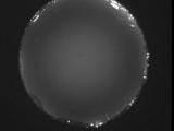
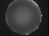
Date: July 11 2026
Time: 10:59:12.175 UTC
|
Date: July 11 2026
Time: 07:43:36.292 UTC
|
Date: July 10 2026
Time: 10:27:11.950 UTC
|
Date: July 10 2026
Time: 10:08:02.213 UTC
|
Date: July 10 2026
Time: 09:53:38.899 UTC
|
Date: July 10 2026
Time: 09:48:04.766 UTC
|
Date: July 10 2026
Time: 09:42:32.393 UTC
|
Date: July 10 2026
Time: 09:37:08.209 UTC
|
Date: July 10 2026
Time: 09:33:12.43 UTC
|
Date: July 10 2026
Time: 09:26:09.741 UTC
|

Date: July 10 2026
Time: 09:21:34.506 UTC
|

Date: July 10 2026
Time: 09:16:00.872 UTC
|
Date: July 10 2026
Time: 09:10:10.989 UTC
|
Date: July 10 2026
Time: 09:04:20.306 UTC
|
Date: July 10 2026
Time: 08:58:59.882 UTC
|
Date: July 10 2026
Time: 08:53:26.209 UTC
|
Date: July 10 2026
Time: 08:48:07.323 UTC
|
|
