WSentinel capture software creates 3 primary event files; composite jpg, video(.mp4), and a spreadsheet(.csv) which contains a timehistory of energy, azimuth/elevation, and pixel mapping for the event as seen from the camera location: (see Spreadsheet Column Definitions here).
NOTE: The az/el data in the spreadsheet are approximations and offline calibration is required for refined assessments. Refined calibrations require use of the nightly composites which are available via the link on the right side of this page.
If you don't see an event, or you are looking for data over 10 days old, please contact us at: 
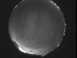
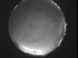
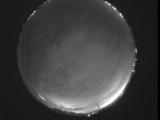
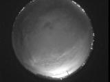
Node Events (last 30 days)
|
|
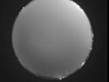
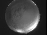
Date: July 10 2026
Time: 08:26:08.740 UTC
|
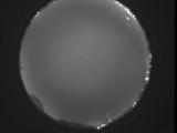
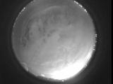
Date: July 10 2026
Time: 08:20:36.906 UTC
|
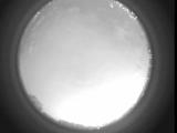
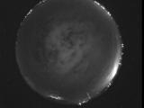
Date: July 10 2026
Time: 08:15:12.381 UTC
|

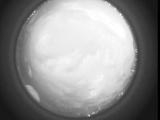
Date: July 10 2026
Time: 08:09:44.758 UTC
|
Date: July 10 2026
Time: 08:04:21.535 UTC
|
Date: July 10 2026
Time: 07:58:47.160 UTC
|
Date: July 10 2026
Time: 07:53:21.707 UTC
|
Date: July 10 2026
Time: 07:48:21.143 UTC
|
Date: July 10 2026
Time: 07:42:37.29 UTC
|
Date: July 10 2026
Time: 07:37:11.664 UTC
|
Date: July 10 2026
Time: 07:31:35.90 UTC
|
Date: July 10 2026
Time: 07:26:03.998 UTC
|
Date: July 10 2026
Time: 07:20:34.104 UTC
|
Date: July 10 2026
Time: 07:15:06.300 UTC
|
Date: July 10 2026
Time: 07:09:38.447 UTC
|
Date: July 10 2026
Time: 07:04:14.553 UTC
|
Date: July 10 2026
Time: 06:58:59.137 UTC
|
Date: July 10 2026
Time: 06:53:18.664 UTC
|
Date: July 10 2026
Time: 06:47:50.970 UTC
|
Date: July 10 2026
Time: 06:42:20.537 UTC
|
|
