Spalding Allsky Obs, Mountain View High, CA (37.3600, -122.0700, 60m) Node 17 Map Popup
Composites
WSentinel capture software creates 3 primary event files; composite jpg, video(.mp4), and a spreadsheet(.csv) which contains a timehistory of energy, azimuth/elevation, and pixel mapping for the event as seen from the camera location: (see Spreadsheet Column Definitions here).
NOTE: The az/el data in the spreadsheet are approximations and offline calibration is required for refined assessments. Refined calibrations require use of the nightly composites which are available via the link on the right side of this page.
If you don't see an event, or you are looking for data over 30 days old, please contact us at: 
Node Events (last 30 days)
|
|
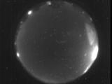
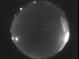
Date: May 22 2025
Time: 04:51:06.689 UTC
|
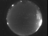
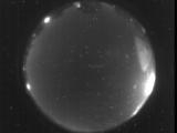
Date: May 22 2025
Time: 04:38:33.232 UTC
|
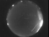
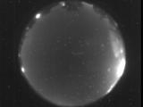
Date: May 22 2025
Time: 04:37:53.254 UTC
|
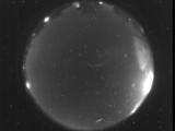
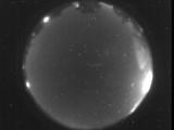
Date: May 22 2025
Time: 04:27:39.968 UTC
|

Date: May 22 2025
Time: 04:20:47.396 UTC
|

Date: May 22 2025
Time: 04:03:38.774 UTC
|
Date: May 21 2025
Time: 10:56:44.198 UTC
|

Date: May 21 2025
Time: 04:50:14.568 UTC
|

Date: May 21 2025
Time: 04:47:58.735 UTC
|
Date: May 21 2025
Time: 04:47:48.825 UTC
|

Date: May 21 2025
Time: 04:34:07.370 UTC
|

Date: May 21 2025
Time: 04:25:18.924 UTC
|

Date: May 21 2025
Time: 04:25:16.125 UTC
|

Date: May 21 2025
Time: 04:25:07.645 UTC
|

Date: May 21 2025
Time: 04:22:00.206 UTC
|

Date: May 21 2025
Time: 04:18:55.591 UTC
|
Date: May 21 2025
Time: 04:18:51.510 UTC
|

Date: May 21 2025
Time: 04:18:48.482 UTC
|
Date: May 21 2025
Time: 04:16:52.771 UTC
|
Date: May 21 2025
Time: 04:13:44.218 UTC
|
|
