Spalding Allsky Obs, Mountain View High, CA (37.3600, -122.0700, 60m) Node 17 Map Popup
Composites
WSentinel capture software creates 3 primary event files; composite jpg, video(.mp4), and a spreadsheet(.csv) which contains a timehistory of energy, azimuth/elevation, and pixel mapping for the event as seen from the camera location: (see Spreadsheet Column Definitions here).
NOTE: The az/el data in the spreadsheet are approximations and offline calibration is required for refined assessments. Refined calibrations require use of the nightly composites which are available via the link on the right side of this page.
If you don't see an event, or you are looking for data over 30 days old, please contact us at: 
Node Events (last 30 days)
|
|
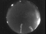
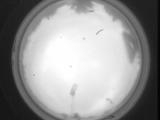
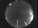
Date: July 27 2025
Time: 04:31:39.128 UTC
|

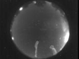
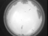
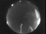
Date: July 27 2025
Time: 04:31:08.398 UTC
|

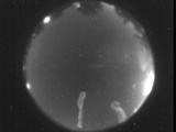
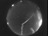
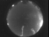
Date: July 27 2025
Time: 04:28:02.159 UTC
|

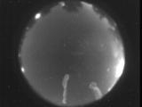
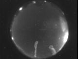
Date: July 27 2025
Time: 04:27:58.189 UTC
|

Date: July 27 2025
Time: 04:27:44.276 UTC
|

Date: July 27 2025
Time: 04:25:48.725 UTC
|
Date: July 27 2025
Time: 04:23:51.785 UTC
|

Date: July 27 2025
Time: 04:21:19.504 UTC
|

Date: July 27 2025
Time: 04:21:07.154 UTC
|
Date: July 27 2025
Time: 04:20:10.134 UTC
|
Date: July 27 2025
Time: 04:18:23.833 UTC
|
Date: July 25 2025
Time: 13:57:02.226 UTC
|
Date: July 25 2025
Time: 13:55:54.457 UTC
|
Date: July 25 2025
Time: 05:20:40.977 UTC
|
Date: July 25 2025
Time: 04:58:55.887 UTC
|
Date: July 25 2025
Time: 04:33:08.455 UTC
|
Date: July 25 2025
Time: 04:32:55.441 UTC
|

Date: July 25 2025
Time: 04:29:20.132 UTC
|
Date: July 25 2025
Time: 04:24:25.249 UTC
|

Date: July 25 2025
Time: 04:23:19.620 UTC
|
|
