WSentinel capture software creates 3 primary event files; composite jpg, video(.mp4), and a spreadsheet(.csv) which contains a timehistory of energy, azimuth/elevation, and pixel mapping for the event as seen from the camera location: (see Spreadsheet Column Definitions here).
NOTE: The az/el data in the spreadsheet are approximations and offline calibration is required for refined assessments. Refined calibrations require use of the nightly composites which are available via the link on the right side of this page.
If you don't see an event, or you are looking for data over 30 days old, please contact us at: 
Node Events (last 30 days)
|
|

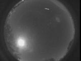
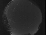
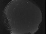
Date: October 6 2025
Time: 03:40:27.558 UTC
|
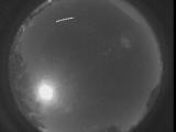
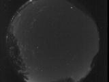
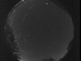
Date: October 6 2025
Time: 03:40:22.148 UTC
|

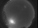
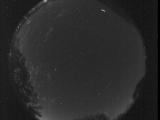
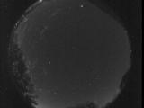
Date: October 6 2025
Time: 03:40:17.528 UTC
|

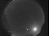
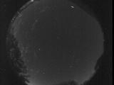
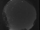
Date: October 6 2025
Time: 03:40:10.868 UTC
|
Date: October 6 2025
Time: 03:40:01.66 UTC
|

Date: October 6 2025
Time: 03:39:57.449 UTC
|

Date: October 6 2025
Time: 03:39:54.471 UTC
|
Date: October 5 2025
Time: 03:37:28.479 UTC
|
Date: October 4 2025
Time: 07:53:04.408 UTC
|
Date: October 3 2025
Time: 12:17:43.476 UTC
|

Date: October 3 2025
Time: 12:17:40.696 UTC
|
Date: October 3 2025
Time: 12:17:38.44 UTC
|
Date: October 3 2025
Time: 12:17:35.433 UTC
|
Date: October 3 2025
Time: 12:17:32.722 UTC
|

Date: October 3 2025
Time: 12:17:30.24 UTC
|

Date: October 3 2025
Time: 12:17:27.417 UTC
|
Date: October 3 2025
Time: 12:17:24.778 UTC
|
Date: October 3 2025
Time: 12:17:22.220 UTC
|
Date: October 3 2025
Time: 12:17:19.514 UTC
|
Date: October 3 2025
Time: 12:17:16.621 UTC
|
|
