WSentinel capture software creates 3 primary event files; composite jpg, video(.mp4), and a spreadsheet(.csv) which contains a timehistory of energy, azimuth/elevation, and pixel mapping for the event as seen from the camera location: (see Spreadsheet Column Definitions here).
NOTE: The az/el data in the spreadsheet are approximations and offline calibration is required for refined assessments. Refined calibrations require use of the nightly composites which are available via the link on the right side of this page.
If you don't see an event, or you are looking for data over 30 days old, please contact us at: 
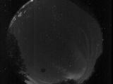
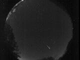
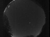
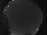
Node Events (last 30 days)
|
|
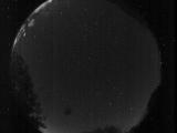
Date: July 28 2025
Time: 07:12:34.186 UTC
|
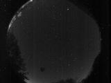
Date: July 28 2025
Time: 06:26:27.953 UTC
|
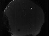
Date: July 28 2025
Time: 05:39:16.279 UTC
|
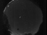
Date: July 27 2025
Time: 08:00:53.347 UTC
|
Date: July 27 2025
Time: 06:49:42.626 UTC
|
Date: July 25 2025
Time: 07:51:57.406 UTC
|
Date: July 24 2025
Time: 09:04:10.402 UTC
|
Date: July 24 2025
Time: 08:46:13.610 UTC
|

Date: July 23 2025
Time: 12:27:55.729 UTC
|
Date: July 23 2025
Time: 12:27:50.599 UTC
|

Date: July 23 2025
Time: 12:27:39.603 UTC
|
Date: July 23 2025
Time: 12:26:58.378 UTC
|

Date: July 23 2025
Time: 12:26:48.34 UTC
|

Date: July 23 2025
Time: 12:26:45.38 UTC
|

Date: July 23 2025
Time: 12:26:42.913 UTC
|
Date: July 23 2025
Time: 12:26:38.898 UTC
|
Date: July 23 2025
Time: 12:26:35.159 UTC
|
Date: July 23 2025
Time: 12:26:30.289 UTC
|

Date: July 23 2025
Time: 12:26:18.691 UTC
|
Date: July 23 2025
Time: 12:26:14.709 UTC
|
|
