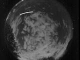
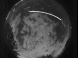
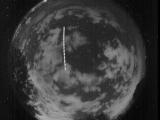
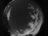
WSentinel capture software creates 3 primary event files; composite jpg, video(.mp4), and a spreadsheet(.csv) which contains a timehistory of energy, azimuth/elevation, and pixel mapping for the event as seen from the camera location: (see Spreadsheet Column Definitions here).
NOTE: The az/el data in the spreadsheet are approximations and offline calibration is required for refined assessments. Refined calibrations require use of the nightly composites which are available via the link on the right side of this page.
If you don't see an event, or you are looking for data over 30 days old, please contact us at: 
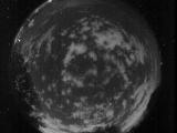
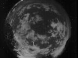
Node Events (last 30 days)
|
|
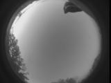
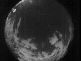
Date: July 23 2025
Time: 12:26:14.709 UTC
|
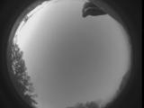
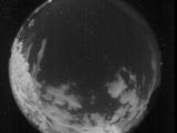
Date: July 23 2025
Time: 12:26:08.738 UTC
|

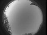
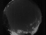
Date: July 23 2025
Time: 12:26:01.881 UTC
|

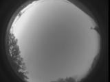
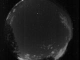
Date: July 23 2025
Time: 12:25:53.137 UTC
|
Date: July 23 2025
Time: 12:25:49.488 UTC
|

Date: July 23 2025
Time: 12:25:46.449 UTC
|
Date: July 23 2025
Time: 12:25:44.419 UTC
|
Date: July 23 2025
Time: 10:22:14.413 UTC
|
Date: July 23 2025
Time: 10:22:04.591 UTC
|

Date: July 23 2025
Time: 09:45:19.243 UTC
|
Date: July 23 2025
Time: 09:45:14.174 UTC
|
Date: July 23 2025
Time: 09:16:33.56 UTC
|
Date: July 23 2025
Time: 08:42:21.240 UTC
|
Date: July 23 2025
Time: 08:27:21.694 UTC
|
Date: July 23 2025
Time: 08:26:48.232 UTC
|
Date: July 23 2025
Time: 08:08:00.564 UTC
|
Date: July 23 2025
Time: 08:07:35.858 UTC
|

Date: July 23 2025
Time: 07:26:25.2 UTC
|
Date: July 23 2025
Time: 07:26:20.686 UTC
|

Date: July 23 2025
Time: 07:26:18.86 UTC
|
|
