WSentinel capture software creates 3 primary event files; composite jpg, video(.mp4), and a spreadsheet(.csv) which contains a timehistory of energy, azimuth/elevation, and pixel mapping for the event as seen from the camera location: (see Spreadsheet Column Definitions here).
NOTE: The az/el data in the spreadsheet are approximations and offline calibration is required for refined assessments. Refined calibrations require use of the nightly composites which are available via the link on the right side of this page.
If you don't see an event, or you are looking for data over 10 days old, please contact us at: 
Node Events (last 30 days)
|
|
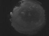
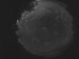
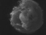
Date: July 10 2026
Time: 09:44:01.910 UTC
|
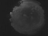
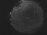
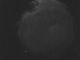
Date: July 10 2026
Time: 09:42:08.271 UTC
|
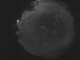
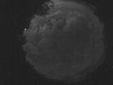
Date: July 10 2026
Time: 09:41:24.531 UTC
|

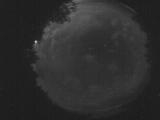
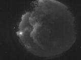
Date: July 10 2026
Time: 09:41:20.762 UTC
|
Date: July 10 2026
Time: 09:40:50.462 UTC
|
Date: July 10 2026
Time: 09:40:46.121 UTC
|

Date: July 10 2026
Time: 09:40:41.952 UTC
|

Date: July 10 2026
Time: 09:40:23.843 UTC
|
Date: July 10 2026
Time: 09:40:07.622 UTC
|

Date: July 10 2026
Time: 09:37:50.578 UTC
|

Date: July 10 2026
Time: 09:37:38.568 UTC
|
Date: July 10 2026
Time: 09:37:25.358 UTC
|

Date: July 10 2026
Time: 09:37:21.550 UTC
|

Date: July 10 2026
Time: 06:03:29.238 UTC
|

Date: July 10 2026
Time: 03:50:58.86 UTC
|

Date: July 9 2026
Time: 08:24:30.247 UTC
|

Date: July 9 2026
Time: 07:41:21.588 UTC
|
Date: July 8 2026
Time: 09:50:06.416 UTC
|
Date: July 8 2026
Time: 09:46:22.608 UTC
|
Date: July 8 2026
Time: 09:08:19.560 UTC
|
|
