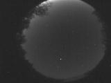
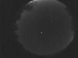
WSentinel capture software creates 3 primary event files; composite jpg, video(.mp4), and a spreadsheet(.csv) which contains a timehistory of energy, azimuth/elevation, and pixel mapping for the event as seen from the camera location: (see Spreadsheet Column Definitions here).
NOTE: The az/el data in the spreadsheet are approximations and offline calibration is required for refined assessments. Refined calibrations require use of the nightly composites which are available via the link on the right side of this page.
If you don't see an event, or you are looking for data over 10 days old, please contact us at: 
Node Events (last 30 days)
|
|
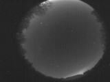
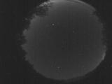
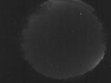
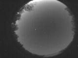
Date: May 31 2026
Time: 09:49:00.409 UTC
|
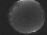
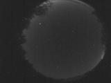
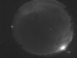
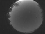
Date: May 31 2026
Time: 09:44:45.302 UTC
|

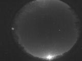
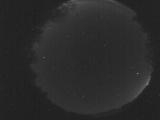
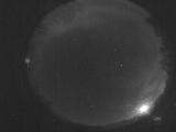
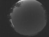
Date: May 31 2026
Time: 09:43:40.602 UTC
|
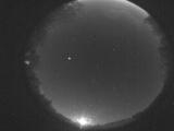
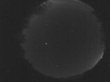
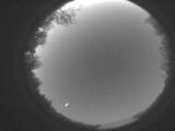
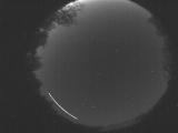
Date: May 31 2026
Time: 08:09:41.741 UTC
|
Date: May 31 2026
Time: 06:41:55.735 UTC
|
Date: May 28 2026
Time: 09:49:22.446 UTC
|
Date: May 28 2026
Time: 09:44:53.729 UTC
|
Date: May 28 2026
Time: 09:30:05.844 UTC
|
Date: May 28 2026
Time: 09:29:15.784 UTC
|
Date: May 28 2026
Time: 09:22:03.178 UTC
|
Date: May 28 2026
Time: 08:18:50.503 UTC
|
Date: May 28 2026
Time: 08:18:19.174 UTC
|
Date: May 27 2026
Time: 10:25:13.963 UTC
|
Date: May 27 2026
Time: 10:16:27.970 UTC
|
Date: May 27 2026
Time: 10:12:41.622 UTC
|

Date: May 27 2026
Time: 10:00:20.276 UTC
|
Date: May 27 2026
Time: 10:00:04.865 UTC
|
Date: May 27 2026
Time: 09:59:31.396 UTC
|
Date: May 27 2026
Time: 09:57:49.439 UTC
|
Date: May 27 2026
Time: 09:39:24.86 UTC
|
|
