WSentinel capture software creates 3 primary event files; composite jpg, video(.mp4), and a spreadsheet(.csv) which contains a timehistory of energy, azimuth/elevation, and pixel mapping for the event as seen from the camera location: (see Spreadsheet Column Definitions here).
NOTE: The az/el data in the spreadsheet are approximations and offline calibration is required for refined assessments. Refined calibrations require use of the nightly composites which are available via the link on the right side of this page.
If you don't see an event, or you are looking for data over 10 days old, please contact us at: 
Node Events (last 30 days)
|
|
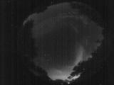
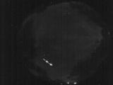
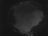
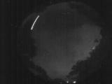
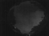
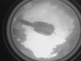
Date: June 21 2026
Time: 09:32:17.650 UTC
|
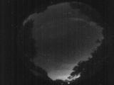
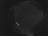
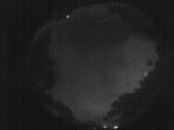
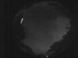
Date: June 21 2026
Time: 09:29:59.923 UTC
|
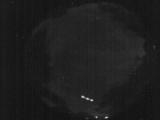
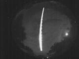
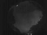
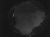
Date: June 21 2026
Time: 04:56:15.795 UTC
|
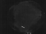
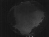
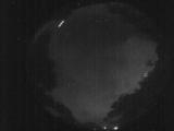
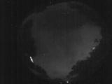
Date: June 21 2026
Time: 04:56:13.65 UTC
|
Date: June 21 2026
Time: 04:56:10.464 UTC
|
Date: June 21 2026
Time: 04:56:07.824 UTC
|
Date: June 21 2026
Time: 03:06:25.172 UTC
|

Date: June 21 2026
Time: 02:57:25.754 UTC
|
Date: June 21 2026
Time: 02:57:22.454 UTC
|
Date: June 21 2026
Time: 02:57:19.184 UTC
|

Date: June 21 2026
Time: 02:57:16.984 UTC
|
Date: June 21 2026
Time: 02:57:11.514 UTC
|
Date: June 21 2026
Time: 02:57:08.804 UTC
|
Date: June 21 2026
Time: 02:57:06.604 UTC
|
Date: June 21 2026
Time: 02:57:00.34 UTC
|
Date: June 21 2026
Time: 02:56:57.794 UTC
|
Date: June 21 2026
Time: 02:56:55.664 UTC
|
Date: June 21 2026
Time: 02:56:45.185 UTC
|
Date: June 21 2026
Time: 02:56:43.85 UTC
|
Date: June 20 2026
Time: 23:15:36.279 UTC
|
|
