WSentinel capture software creates 3 primary event files; composite jpg, video(.mp4), and a spreadsheet(.csv) which contains a timehistory of energy, azimuth/elevation, and pixel mapping for the event as seen from the camera location: (see Spreadsheet Column Definitions here).
NOTE: The az/el data in the spreadsheet are approximations and offline calibration is required for refined assessments. Refined calibrations require use of the nightly composites which are available via the link on the right side of this page.
If you don't see an event, or you are looking for data over 10 days old, please contact us at: 
Node Events (last 30 days)
|
|
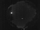
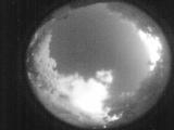
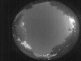
Date: July 10 2026
Time: 09:41:41.571 UTC
|
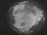
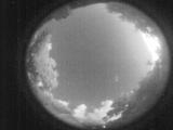
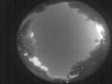
Date: July 10 2026
Time: 08:36:34.309 UTC
|
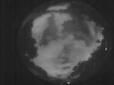
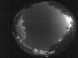
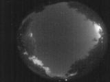
Date: July 10 2026
Time: 08:34:45.471 UTC
|
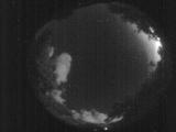
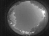
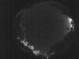
Date: July 10 2026
Time: 07:38:17.895 UTC
|
Date: July 10 2026
Time: 07:32:44.543 UTC
|
Date: July 10 2026
Time: 07:26:59.79 UTC
|
Date: July 10 2026
Time: 07:24:05.883 UTC
|
Date: July 10 2026
Time: 07:23:34.884 UTC
|
Date: July 10 2026
Time: 07:22:29.794 UTC
|
Date: July 10 2026
Time: 07:21:26.736 UTC
|
Date: July 10 2026
Time: 07:20:38.887 UTC
|
Date: July 10 2026
Time: 07:20:34.887 UTC
|
Date: July 10 2026
Time: 07:19:18.138 UTC
|
Date: July 10 2026
Time: 07:17:31.940 UTC
|
Date: July 10 2026
Time: 07:16:27.442 UTC
|
Date: July 10 2026
Time: 07:14:25.294 UTC
|
Date: July 10 2026
Time: 07:11:42.108 UTC
|
Date: July 10 2026
Time: 07:11:35.637 UTC
|
Date: July 10 2026
Time: 07:04:26.326 UTC
|
Date: July 10 2026
Time: 07:02:24.609 UTC
|
|
