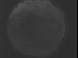
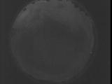
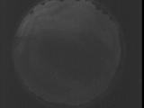
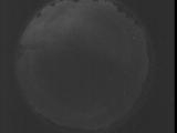
WSentinel capture software creates 3 primary event files; composite jpg, video(.mp4), and a spreadsheet(.csv) which contains a timehistory of energy, azimuth/elevation, and pixel mapping for the event as seen from the camera location: (see Spreadsheet Column Definitions here).
NOTE: The az/el data in the spreadsheet are approximations and offline calibration is required for refined assessments. Refined calibrations require use of the nightly composites which are available via the link on the right side of this page.
If you don't see an event, or you are looking for data over 30 days old, please contact us at: 
Node Events (last 30 days)
|
|
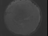
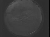
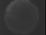
Date: July 29 2025
Time: 08:44:22.789 UTC
|
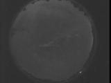
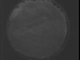
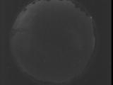
Date: July 29 2025
Time: 08:38:55.240 UTC
|
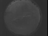
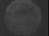
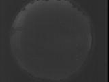
Date: July 29 2025
Time: 08:33:27.631 UTC
|
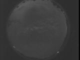
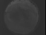
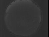
Date: July 29 2025
Time: 08:28:00.82 UTC
|
Date: July 29 2025
Time: 08:22:32.473 UTC
|
Date: July 29 2025
Time: 08:17:04.925 UTC
|
Date: July 29 2025
Time: 08:11:37.315 UTC
|
Date: July 29 2025
Time: 08:06:09.776 UTC
|
Date: July 29 2025
Time: 08:00:42.157 UTC
|
Date: July 29 2025
Time: 07:55:14.618 UTC
|
Date: July 29 2025
Time: 07:49:47.9 UTC
|
Date: July 29 2025
Time: 07:44:19.460 UTC
|

Date: July 29 2025
Time: 07:38:51.851 UTC
|
Date: July 29 2025
Time: 07:33:24.302 UTC
|
Date: July 29 2025
Time: 07:27:56.693 UTC
|
Date: July 29 2025
Time: 07:22:29.144 UTC
|
Date: July 29 2025
Time: 07:17:01.535 UTC
|

Date: July 29 2025
Time: 07:11:33.986 UTC
|
Date: July 29 2025
Time: 07:06:06.377 UTC
|
Date: July 29 2025
Time: 07:00:38.838 UTC
|
|
