WSentinel capture software creates 3 primary event files; composite jpg, video(.mp4), and a spreadsheet(.csv) which contains a timehistory of energy, azimuth/elevation, and pixel mapping for the event as seen from the camera location: (see Spreadsheet Column Definitions here).
NOTE: The az/el data in the spreadsheet are approximations and offline calibration is required for refined assessments. Refined calibrations require use of the nightly composites which are available via the link on the right side of this page.
If you don't see an event, or you are looking for data over 10 days old, please contact us at: 
Node Events (last 30 days)
|
|
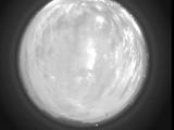
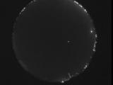
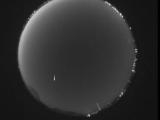
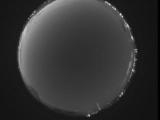
Date: June 20 2026
Time: 03:41:52.635 UTC
|
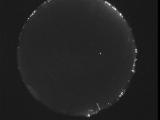
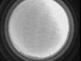
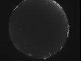
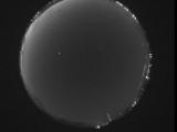
Date: June 20 2026
Time: 03:25:44.734 UTC
|
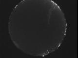
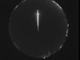
Date: June 20 2026
Time: 02:53:29.830 UTC
|
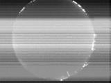
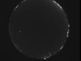
Date: June 20 2026
Time: 02:35:43.210 UTC
|
Date: June 20 2026
Time: 02:26:57.771 UTC
|
Date: June 19 2026
Time: 09:05:45.648 UTC
|
Date: June 19 2026
Time: 07:52:39.71 UTC
|
Date: June 19 2026
Time: 05:32:51.242 UTC
|
Date: June 19 2026
Time: 04:11:40.423 UTC
|
Date: June 19 2026
Time: 02:00:54.143 UTC
|
Date: June 18 2026
Time: 08:03:03.295 UTC
|
Date: June 18 2026
Time: 05:54:41.104 UTC
|
Date: June 17 2026
Time: 10:02:42.918 UTC
|

Date: June 17 2026
Time: 03:14:34.673 UTC
|
Date: June 17 2026
Time: 03:13:40.544 UTC
|

Date: June 17 2026
Time: 03:13:32.604 UTC
|
Date: June 16 2026
Time: 10:53:35.784 UTC
|
Date: June 16 2026
Time: 10:26:56.83 UTC
|
Date: June 16 2026
Time: 10:05:24.89 UTC
|
Date: June 16 2026
Time: 10:01:29.662 UTC
|
|
