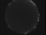
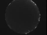
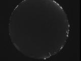
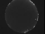
WSentinel capture software creates 3 primary event files; composite jpg, video(.mp4), and a spreadsheet(.csv) which contains a timehistory of energy, azimuth/elevation, and pixel mapping for the event as seen from the camera location: (see Spreadsheet Column Definitions here).
NOTE: The az/el data in the spreadsheet are approximations and offline calibration is required for refined assessments. Refined calibrations require use of the nightly composites which are available via the link on the right side of this page.
If you don't see an event, or you are looking for data over 10 days old, please contact us at: 
Node Events (last 30 days)
|
|
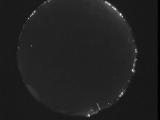
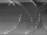
Date: June 16 2026
Time: 07:11:41.885 UTC
|
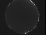
Date: June 16 2026
Time: 07:06:13.122 UTC
|
Date: June 16 2026
Time: 07:01:52.67 UTC
|
Date: June 15 2026
Time: 09:25:56.667 UTC
|
Date: June 15 2026
Time: 08:01:31.904 UTC
|
Date: June 15 2026
Time: 07:54:05.352 UTC
|
Date: June 15 2026
Time: 07:04:36.767 UTC
|
Date: June 15 2026
Time: 06:59:09.154 UTC
|
Date: June 15 2026
Time: 06:54:21.141 UTC
|

Date: June 15 2026
Time: 06:54:19.169 UTC
|

Date: June 15 2026
Time: 06:54:13.970 UTC
|

Date: June 15 2026
Time: 06:54:09.500 UTC
|
Date: June 15 2026
Time: 06:54:06.499 UTC
|
Date: June 15 2026
Time: 06:54:01.291 UTC
|
Date: June 15 2026
Time: 06:53:57.909 UTC
|
Date: June 15 2026
Time: 06:53:55.41 UTC
|
Date: June 15 2026
Time: 06:53:52.519 UTC
|
Date: June 15 2026
Time: 06:53:45.927 UTC
|
Date: June 15 2026
Time: 06:53:43.80 UTC
|
Date: June 15 2026
Time: 06:53:40.751 UTC
|
|
