WSentinel capture software creates 3 primary event files; composite jpg, video(.mp4), and a spreadsheet(.csv) which contains a timehistory of energy, azimuth/elevation, and pixel mapping for the event as seen from the camera location: (see Spreadsheet Column Definitions here).
NOTE: The az/el data in the spreadsheet are approximations and offline calibration is required for refined assessments. Refined calibrations require use of the nightly composites which are available via the link on the right side of this page.
If you don't see an event, or you are looking for data over 10 days old, please contact us at: 
Node Events (last 30 days)
|
|
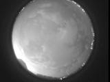
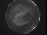
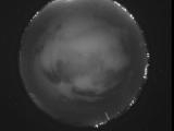
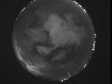
Date: July 9 2026
Time: 05:25:21.156 UTC
|
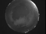
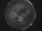
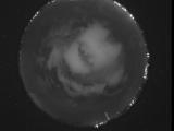
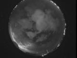
Date: July 9 2026
Time: 05:19:56.91 UTC
|
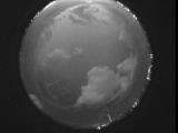
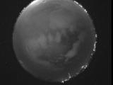
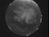
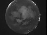
Date: July 9 2026
Time: 05:14:30.138 UTC
|
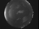
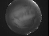
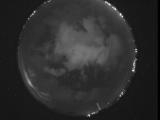
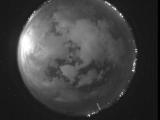
Date: July 9 2026
Time: 05:08:56.4 UTC
|
Date: July 9 2026
Time: 05:03:55.896 UTC
|
Date: July 9 2026
Time: 04:58:15.292 UTC
|
Date: July 9 2026
Time: 04:53:15.357 UTC
|
Date: July 9 2026
Time: 04:47:23.805 UTC
|
Date: July 9 2026
Time: 04:41:49.701 UTC
|
Date: July 9 2026
Time: 04:36:16.298 UTC
|
Date: July 9 2026
Time: 04:30:59.461 UTC
|
Date: July 9 2026
Time: 04:25:23.155 UTC
|
Date: July 9 2026
Time: 04:20:43.536 UTC
|
Date: July 9 2026
Time: 04:14:28.463 UTC
|
Date: July 9 2026
Time: 04:09:32.628 UTC
|
Date: July 9 2026
Time: 04:03:29.592 UTC
|
Date: July 9 2026
Time: 04:00:41.806 UTC
|
Date: July 9 2026
Time: 03:59:57.558 UTC
|
Date: July 9 2026
Time: 03:59:52.358 UTC
|
Date: July 9 2026
Time: 03:58:50.661 UTC
|
|
