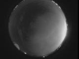
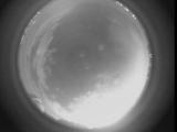
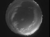
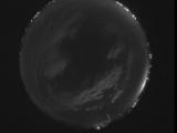
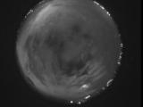
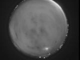
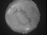
WSentinel capture software creates 3 primary event files; composite jpg, video(.mp4), and a spreadsheet(.csv) which contains a timehistory of energy, azimuth/elevation, and pixel mapping for the event as seen from the camera location: (see Spreadsheet Column Definitions here).
NOTE: The az/el data in the spreadsheet are approximations and offline calibration is required for refined assessments. Refined calibrations require use of the nightly composites which are available via the link on the right side of this page.
If you don't see an event, or you are looking for data over 10 days old, please contact us at: 
Node Events (last 30 days)
|
|
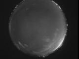
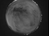
Date: May 30 2026
Time: 08:35:07.425 UTC
|

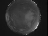
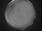
Date: May 30 2026
Time: 08:29:26.682 UTC
|
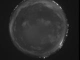
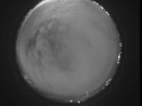
Date: May 30 2026
Time: 08:24:08.628 UTC
|
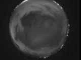
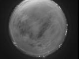
Date: May 30 2026
Time: 08:18:59.924 UTC
|
Date: May 30 2026
Time: 08:13:01.160 UTC
|
Date: May 30 2026
Time: 08:07:45.46 UTC
|
Date: May 30 2026
Time: 08:02:11.773 UTC
|
Date: May 30 2026
Time: 07:58:03.368 UTC
|
Date: May 30 2026
Time: 07:51:16.815 UTC
|
Date: May 30 2026
Time: 07:46:06.672 UTC
|
Date: May 30 2026
Time: 07:40:13.989 UTC
|
Date: May 30 2026
Time: 07:35:08.84 UTC
|
Date: May 30 2026
Time: 07:31:08.749 UTC
|
Date: May 30 2026
Time: 07:24:57.106 UTC
|
Date: May 30 2026
Time: 07:18:35.122 UTC
|
Date: May 30 2026
Time: 07:13:10.128 UTC
|
Date: May 30 2026
Time: 07:07:46.605 UTC
|
Date: May 30 2026
Time: 07:02:10.302 UTC
|
Date: May 30 2026
Time: 06:57:25.319 UTC
|
Date: May 30 2026
Time: 06:51:11.604 UTC
|
|
