WSentinel capture software creates 3 primary event files; composite jpg, video(.mp4), and a spreadsheet(.csv) which contains a timehistory of energy, azimuth/elevation, and pixel mapping for the event as seen from the camera location: (see Spreadsheet Column Definitions here).
NOTE: The az/el data in the spreadsheet are approximations and offline calibration is required for refined assessments. Refined calibrations require use of the nightly composites which are available via the link on the right side of this page.
If you don't see an event, or you are looking for data over 10 days old, please contact us at: 
Node Events (last 30 days)
|
|
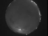
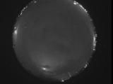
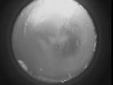
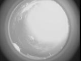
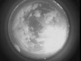
Date: May 30 2026
Time: 04:29:07.107 UTC
|
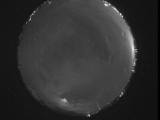
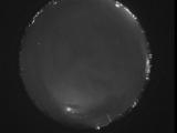
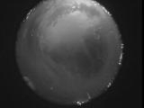
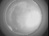
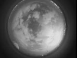
Date: May 30 2026
Time: 04:23:40.143 UTC
|
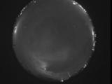
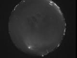
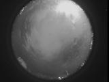
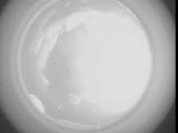
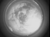
Date: May 30 2026
Time: 04:18:11.79 UTC
|
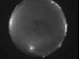
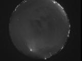
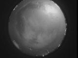
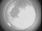
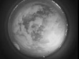
Date: May 30 2026
Time: 04:12:46.625 UTC
|
Date: May 30 2026
Time: 04:07:35.481 UTC
|
Date: May 30 2026
Time: 04:05:44.352 UTC
|
Date: May 30 2026
Time: 03:58:45.891 UTC
|
Date: May 30 2026
Time: 03:56:44.863 UTC
|
Date: May 30 2026
Time: 03:45:33.327 UTC
|
Date: May 30 2026
Time: 03:40:05.521 UTC
|
Date: May 30 2026
Time: 03:34:30.729 UTC
|
Date: May 30 2026
Time: 03:29:06.165 UTC
|
Date: May 30 2026
Time: 03:24:02.760 UTC
|
Date: May 30 2026
Time: 03:18:29.827 UTC
|
Date: May 30 2026
Time: 03:16:17.790 UTC
|
Date: May 30 2026
Time: 03:08:32.309 UTC
|
Date: May 30 2026
Time: 03:04:23.294 UTC
|
Date: May 30 2026
Time: 03:03:47.594 UTC
|
Date: May 30 2026
Time: 03:03:08.616 UTC
|
Date: May 30 2026
Time: 03:02:28.6 UTC
|
|
