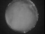
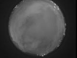
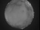
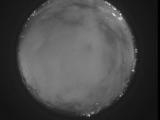
WSentinel capture software creates 3 primary event files; composite jpg, video(.mp4), and a spreadsheet(.csv) which contains a timehistory of energy, azimuth/elevation, and pixel mapping for the event as seen from the camera location: (see Spreadsheet Column Definitions here).
NOTE: The az/el data in the spreadsheet are approximations and offline calibration is required for refined assessments. Refined calibrations require use of the nightly composites which are available via the link on the right side of this page.
If you don't see an event, or you are looking for data over 10 days old, please contact us at: 
Node Events (last 30 days)
|
|
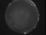
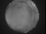
Date: May 29 2026
Time: 06:09:37.17 UTC
|
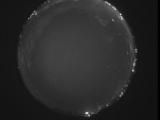
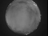
Date: May 29 2026
Time: 06:08:59.837 UTC
|
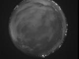
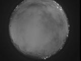
Date: May 29 2026
Time: 06:07:03.750 UTC
|
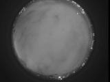
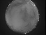
Date: May 29 2026
Time: 04:56:46.20 UTC
|
Date: May 29 2026
Time: 04:21:36.989 UTC
|
Date: May 29 2026
Time: 04:17:20.814 UTC
|
Date: May 29 2026
Time: 03:59:33.394 UTC
|
Date: May 29 2026
Time: 03:47:24.158 UTC
|
Date: May 29 2026
Time: 03:45:18.820 UTC
|
Date: May 29 2026
Time: 03:37:40.178 UTC
|
Date: May 29 2026
Time: 03:33:34.342 UTC
|

Date: May 29 2026
Time: 03:33:32.273 UTC
|
Date: May 29 2026
Time: 03:33:30.103 UTC
|

Date: May 29 2026
Time: 03:33:28.32 UTC
|

Date: May 29 2026
Time: 03:33:23.632 UTC
|
Date: May 29 2026
Time: 03:33:20.963 UTC
|
Date: May 29 2026
Time: 03:33:14.223 UTC
|
Date: May 29 2026
Time: 03:33:03.373 UTC
|
Date: May 29 2026
Time: 03:32:45.825 UTC
|
Date: May 29 2026
Time: 03:32:26.704 UTC
|
|
