WSentinel capture software creates 3 primary event files; composite jpg, video(.mp4), and a spreadsheet(.csv) which contains a timehistory of energy, azimuth/elevation, and pixel mapping for the event as seen from the camera location: (see Spreadsheet Column Definitions here).
NOTE: The az/el data in the spreadsheet are approximations and offline calibration is required for refined assessments. Refined calibrations require use of the nightly composites which are available via the link on the right side of this page.
If you don't see an event, or you are looking for data over 10 days old, please contact us at: 
Node Events (last 30 days)
|
|
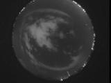
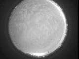
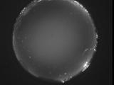
Date: June 1 2026
Time: 03:15:34.205 UTC
|
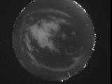
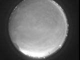
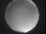
Date: June 1 2026
Time: 03:14:39.717 UTC
|
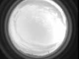
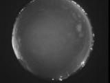
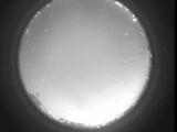
Date: June 1 2026
Time: 03:09:55.672 UTC
|
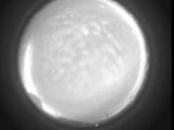
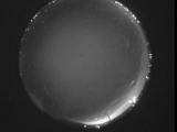
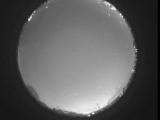
Date: June 1 2026
Time: 03:01:50.530 UTC
|
Date: June 1 2026
Time: 03:01:29.913 UTC
|
Date: June 1 2026
Time: 03:01:19.161 UTC
|

Date: June 1 2026
Time: 01:55:22.968 UTC
|

Date: June 1 2026
Time: 01:55:00.808 UTC
|
Date: June 1 2026
Time: 01:54:53.399 UTC
|
Date: May 31 2026
Time: 10:46:26.857 UTC
|
Date: May 31 2026
Time: 10:38:34.836 UTC
|
Date: May 31 2026
Time: 10:32:17.94 UTC
|
Date: May 31 2026
Time: 10:26:52.571 UTC
|
Date: May 31 2026
Time: 10:21:19.725 UTC
|
Date: May 31 2026
Time: 10:15:51.804 UTC
|
Date: May 31 2026
Time: 10:10:37.88 UTC
|
Date: May 31 2026
Time: 10:05:14.265 UTC
|
Date: May 31 2026
Time: 09:59:29.551 UTC
|
Date: May 31 2026
Time: 09:54:38.698 UTC
|
Date: May 31 2026
Time: 09:48:34.125 UTC
|
|
