WSentinel capture software creates 3 primary event files; composite jpg, video(.mp4), and a spreadsheet(.csv) which contains a timehistory of energy, azimuth/elevation, and pixel mapping for the event as seen from the camera location: (see Spreadsheet Column Definitions here).
NOTE: The az/el data in the spreadsheet are approximations and offline calibration is required for refined assessments. Refined calibrations require use of the nightly composites which are available via the link on the right side of this page.
If you don't see an event, or you are looking for data over 10 days old, please contact us at: 
Node Events (last 30 days)
|
|
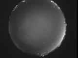
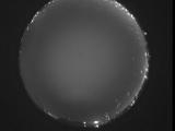
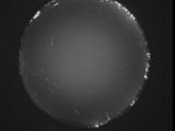
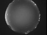
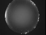
Date: May 31 2026
Time: 06:04:42.670 UTC
|
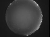
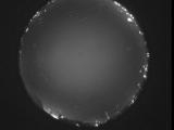
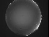
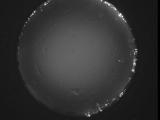
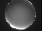
Date: May 31 2026
Time: 05:59:16.577 UTC
|
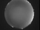
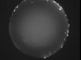
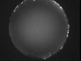
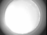
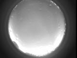
Date: May 31 2026
Time: 05:53:49.482 UTC
|
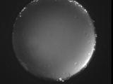
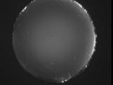
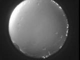
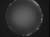
Date: May 31 2026
Time: 05:48:30.228 UTC
|
Date: May 31 2026
Time: 05:42:56.625 UTC
|
Date: May 31 2026
Time: 05:37:23.51 UTC
|
Date: May 31 2026
Time: 05:32:02.138 UTC
|
Date: May 31 2026
Time: 05:26:33.943 UTC
|
Date: May 31 2026
Time: 05:21:33.708 UTC
|
Date: May 31 2026
Time: 05:15:33.508 UTC
|
Date: May 31 2026
Time: 05:10:23.331 UTC
|
Date: May 31 2026
Time: 05:04:41.359 UTC
|
Date: May 31 2026
Time: 04:59:48.934 UTC
|
Date: May 31 2026
Time: 04:53:46.971 UTC
|
Date: May 31 2026
Time: 04:48:18.408 UTC
|
Date: May 31 2026
Time: 04:42:49.943 UTC
|
Date: May 31 2026
Time: 04:38:44.367 UTC
|
Date: May 31 2026
Time: 04:32:03.725 UTC
|
Date: May 31 2026
Time: 04:26:23.582 UTC
|

Date: May 31 2026
Time: 04:21:12.448 UTC
|
|
