WSentinel capture software creates 3 primary event files; composite jpg, video(.mp4), and a spreadsheet(.csv) which contains a timehistory of energy, azimuth/elevation, and pixel mapping for the event as seen from the camera location: (see Spreadsheet Column Definitions here).
NOTE: The az/el data in the spreadsheet are approximations and offline calibration is required for refined assessments. Refined calibrations require use of the nightly composites which are available via the link on the right side of this page.
If you don't see an event, or you are looking for data over 10 days old, please contact us at: 
Node Events (last 30 days)
|
|
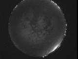
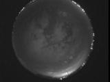
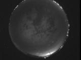
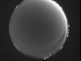
Date: July 10 2026
Time: 06:27:23.314 UTC
|
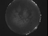
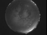
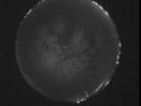
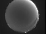
Date: July 10 2026
Time: 06:27:19.445 UTC
|
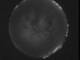
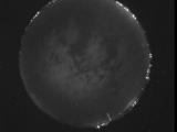
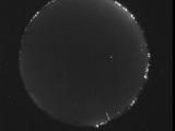
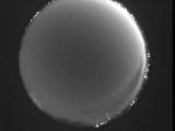
Date: July 10 2026
Time: 06:27:12.4 UTC
|
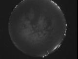
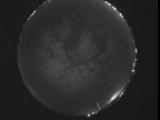
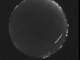
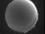
Date: July 10 2026
Time: 06:27:01.154 UTC
|
Date: July 10 2026
Time: 06:26:58.285 UTC
|
Date: July 10 2026
Time: 06:26:55.115 UTC
|
Date: July 10 2026
Time: 06:26:49.905 UTC
|
Date: July 10 2026
Time: 06:26:47.476 UTC
|
Date: July 10 2026
Time: 06:26:10.937 UTC
|
Date: July 10 2026
Time: 06:25:56.287 UTC
|
Date: July 10 2026
Time: 03:14:19.896 UTC
|
Date: July 10 2026
Time: 03:04:34.645 UTC
|
Date: July 10 2026
Time: 02:48:19.903 UTC
|
Date: July 10 2026
Time: 02:48:03.585 UTC
|
Date: July 10 2026
Time: 02:46:57.917 UTC
|
Date: July 10 2026
Time: 02:46:30.717 UTC
|
Date: July 10 2026
Time: 02:14:56.2 UTC
|
Date: July 10 2026
Time: 02:00:10.489 UTC
|
Date: July 10 2026
Time: 01:58:35.132 UTC
|
Date: July 10 2026
Time: 01:58:08.490 UTC
|
|
