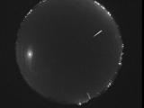
WSentinel capture software creates 3 primary event files; composite jpg, video(.mp4), and a spreadsheet(.csv) which contains a timehistory of energy, azimuth/elevation, and pixel mapping for the event as seen from the camera location: (see Spreadsheet Column Definitions here).
NOTE: The az/el data in the spreadsheet are approximations and offline calibration is required for refined assessments. Refined calibrations require use of the nightly composites which are available via the link on the right side of this page.
If you don't see an event, or you are looking for data over 10 days old, please contact us at: 
Node Events (last 30 days)
|
|
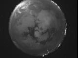
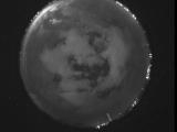
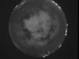
Date: July 9 2026
Time: 03:59:57.558 UTC
|
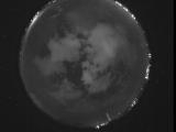
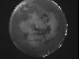
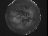
Date: July 9 2026
Time: 03:59:52.358 UTC
|
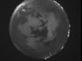
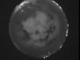
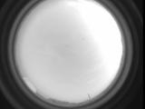
Date: July 9 2026
Time: 03:58:50.661 UTC
|
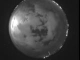
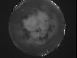
Date: July 9 2026
Time: 03:57:19.823 UTC
|
Date: July 9 2026
Time: 03:57:12.813 UTC
|
Date: July 9 2026
Time: 03:56:32.944 UTC
|
Date: July 9 2026
Time: 03:53:27.337 UTC
|
Date: July 9 2026
Time: 03:52:59.607 UTC
|
Date: July 9 2026
Time: 03:52:05.339 UTC
|
Date: July 9 2026
Time: 03:51:13.818 UTC
|
Date: July 9 2026
Time: 03:48:17.961 UTC
|
Date: July 9 2026
Time: 03:47:20.363 UTC
|
Date: July 9 2026
Time: 03:46:58.272 UTC
|
Date: July 9 2026
Time: 03:38:03.816 UTC
|
Date: July 9 2026
Time: 02:06:14.270 UTC
|
Date: July 8 2026
Time: 08:26:25.320 UTC
|
Date: July 8 2026
Time: 07:53:51.808 UTC
|
Date: July 8 2026
Time: 04:27:50.787 UTC
|

Date: July 1 2026
Time: 04:47:19.428 UTC
|
Date: July 1 2026
Time: 04:47:10.18 UTC
|
|
