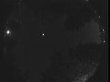
WSentinel capture software creates 3 primary event files; composite jpg, video(.mp4), and a spreadsheet(.csv) which contains a timehistory of energy, azimuth/elevation, and pixel mapping for the event as seen from the camera location: (see Spreadsheet Column Definitions here).
NOTE: The az/el data in the spreadsheet are approximations and offline calibration is required for refined assessments. Refined calibrations require use of the nightly composites which are available via the link on the right side of this page.
If you don't see an event, or you are looking for data over 10 days old, please contact us at: 
Node Events (last 30 days)
|
|
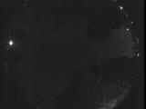
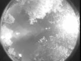
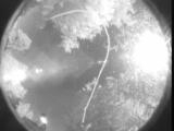
Date: June 19 2026
Time: 06:21:00.172 UTC
|
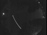
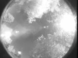
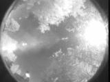
Date: June 19 2026
Time: 06:15:22.382 UTC
|
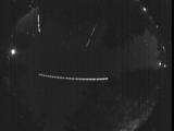
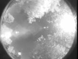
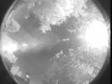
Date: June 19 2026
Time: 06:14:24.292 UTC
|
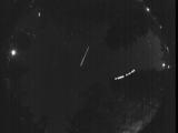
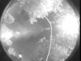
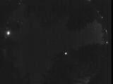
Date: June 19 2026
Time: 06:14:10.582 UTC
|
Date: June 19 2026
Time: 06:01:06.536 UTC
|
Date: June 19 2026
Time: 05:46:41.320 UTC
|

Date: June 19 2026
Time: 05:43:49.290 UTC
|
Date: June 19 2026
Time: 05:37:05.748 UTC
|
Date: June 19 2026
Time: 05:26:20.274 UTC
|
Date: June 19 2026
Time: 02:32:12.179 UTC
|
Date: June 19 2026
Time: 02:32:02.369 UTC
|
Date: June 19 2026
Time: 02:31:57.669 UTC
|
Date: June 19 2026
Time: 02:24:52.421 UTC
|
Date: June 19 2026
Time: 02:24:32.700 UTC
|
Date: June 19 2026
Time: 02:24:25.260 UTC
|
Date: June 19 2026
Time: 02:19:23.480 UTC
|
Date: June 18 2026
Time: 09:58:19.876 UTC
|
Date: June 17 2026
Time: 06:45:07.229 UTC
|
Date: June 9 2026
Time: 11:35:14.359 UTC
|
Date: June 9 2026
Time: 07:34:23.575 UTC
|
|
