WSentinel capture software creates 3 primary event files; composite jpg, video(.mp4), and a spreadsheet(.csv) which contains a timehistory of energy, azimuth/elevation, and pixel mapping for the event as seen from the camera location: (see Spreadsheet Column Definitions here).
NOTE: The az/el data in the spreadsheet are approximations and offline calibration is required for refined assessments. Refined calibrations require use of the nightly composites which are available via the link on the right side of this page.
If you don't see an event, or you are looking for data over 30 days old, please contact us at: 
Node Events (last 30 days)
|
|
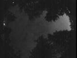
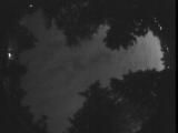
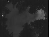
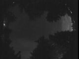
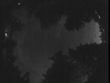
Date: July 5 2025
Time: 09:09:44.840 UTC
|
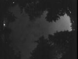
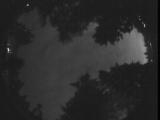
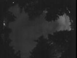
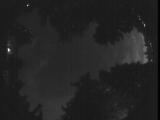
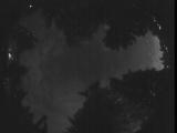
Date: July 5 2025
Time: 09:09:31.420 UTC
|
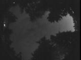
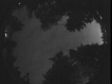
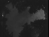
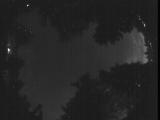
Date: July 5 2025
Time: 08:58:47.247 UTC
|
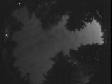
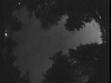
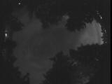
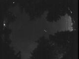
Date: July 5 2025
Time: 08:54:01.372 UTC
|
Date: July 5 2025
Time: 08:50:03.747 UTC
|
Date: July 5 2025
Time: 08:45:35.961 UTC
|
Date: July 5 2025
Time: 08:45:32.597 UTC
|
Date: July 5 2025
Time: 08:38:58.453 UTC
|

Date: July 5 2025
Time: 08:38:42.374 UTC
|
Date: July 5 2025
Time: 08:27:30.100 UTC
|
Date: July 5 2025
Time: 08:26:50.99 UTC
|
Date: July 5 2025
Time: 08:24:12.646 UTC
|
Date: July 5 2025
Time: 08:11:24.621 UTC
|

Date: July 5 2025
Time: 08:06:33.401 UTC
|
Date: July 5 2025
Time: 08:01:22.549 UTC
|
Date: July 5 2025
Time: 07:56:51.923 UTC
|
Date: July 5 2025
Time: 07:52:12.459 UTC
|
Date: July 5 2025
Time: 07:48:30.384 UTC
|
Date: July 5 2025
Time: 07:43:49.418 UTC
|
Date: July 5 2025
Time: 07:40:46.971 UTC
|
|
