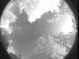
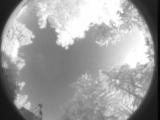
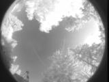
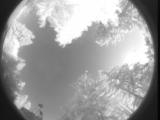
WSentinel capture software creates 3 primary event files; composite jpg, video(.mp4), and a spreadsheet(.csv) which contains a timehistory of energy, azimuth/elevation, and pixel mapping for the event as seen from the camera location: (see Spreadsheet Column Definitions here).
NOTE: The az/el data in the spreadsheet are approximations and offline calibration is required for refined assessments. Refined calibrations require use of the nightly composites which are available via the link on the right side of this page.
If you don't see an event, or you are looking for data over 30 days old, please contact us at: 
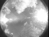
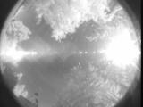
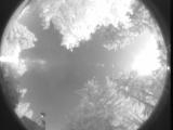
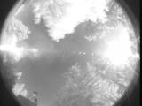
Node Events (last 30 days)
|
|
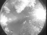
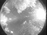
Date: July 4 2025
Time: 02:32:57.853 UTC
|
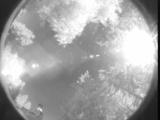
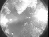
Date: July 4 2025
Time: 02:32:50.498 UTC
|
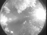
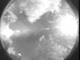
Date: July 4 2025
Time: 02:29:08.384 UTC
|
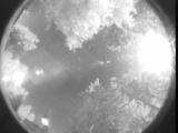
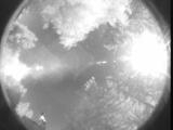
Date: July 4 2025
Time: 02:27:59.722 UTC
|
Date: July 4 2025
Time: 02:27:36.66 UTC
|

Date: July 4 2025
Time: 02:25:04.396 UTC
|
Date: July 4 2025
Time: 02:24:41.598 UTC
|
Date: July 4 2025
Time: 02:11:47.915 UTC
|
Date: July 4 2025
Time: 02:11:42.734 UTC
|
Date: July 4 2025
Time: 02:11:33.782 UTC
|
Date: July 4 2025
Time: 01:43:57.647 UTC
|
Date: July 4 2025
Time: 01:24:42.181 UTC
|
Date: July 4 2025
Time: 01:23:22.209 UTC
|
Date: July 4 2025
Time: 01:22:15.337 UTC
|
Date: July 4 2025
Time: 01:11:58.551 UTC
|
Date: July 4 2025
Time: 01:08:42.715 UTC
|

Date: July 4 2025
Time: 01:08:26.456 UTC
|
Date: July 4 2025
Time: 00:57:59.389 UTC
|

Date: July 4 2025
Time: 00:57:48.279 UTC
|
Date: July 4 2025
Time: 00:55:50.966 UTC
|
|
