WSentinel capture software creates 3 primary event files; composite jpg, video(.mp4), and a spreadsheet(.csv) which contains a timehistory of energy, azimuth/elevation, and pixel mapping for the event as seen from the camera location: (see Spreadsheet Column Definitions here).
NOTE: The az/el data in the spreadsheet are approximations and offline calibration is required for refined assessments. Refined calibrations require use of the nightly composites which are available via the link on the right side of this page.
If you don't see an event, or you are looking for data over 30 days old, please contact us at: 
Node Events (last 30 days)
|
|

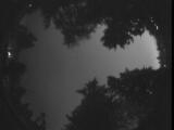
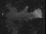
Date: July 3 2025
Time: 09:20:07.932 UTC
|

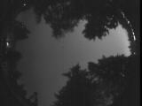
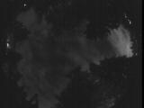
Date: July 3 2025
Time: 09:20:01.562 UTC
|

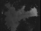
Date: July 3 2025
Time: 09:19:53.762 UTC
|

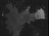
Date: July 3 2025
Time: 09:08:55.130 UTC
|

Date: July 3 2025
Time: 09:06:33.227 UTC
|

Date: July 3 2025
Time: 09:04:07.484 UTC
|
Date: July 3 2025
Time: 09:03:32.893 UTC
|

Date: July 3 2025
Time: 09:01:53.691 UTC
|

Date: July 3 2025
Time: 09:01:14.221 UTC
|
Date: July 3 2025
Time: 08:43:10.99 UTC
|

Date: July 3 2025
Time: 08:38:28.92 UTC
|

Date: July 3 2025
Time: 08:37:26.320 UTC
|

Date: July 3 2025
Time: 08:37:17.561 UTC
|

Date: July 3 2025
Time: 08:36:39.360 UTC
|

Date: July 3 2025
Time: 08:35:11.978 UTC
|

Date: July 3 2025
Time: 08:34:36.576 UTC
|
Date: July 3 2025
Time: 08:09:31.141 UTC
|
Date: July 3 2025
Time: 08:08:07.688 UTC
|
Date: July 3 2025
Time: 08:00:20.414 UTC
|
Date: July 3 2025
Time: 07:55:45.947 UTC
|
|
