WSentinel capture software creates 3 primary event files; composite jpg, video(.mp4), and a spreadsheet(.csv) which contains a timehistory of energy, azimuth/elevation, and pixel mapping for the event as seen from the camera location: (see Spreadsheet Column Definitions here).
NOTE: The az/el data in the spreadsheet are approximations and offline calibration is required for refined assessments. Refined calibrations require use of the nightly composites which are available via the link on the right side of this page.
If you don't see an event, or you are looking for data over 30 days old, please contact us at: 
Node Events (last 30 days)
|
|
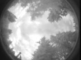
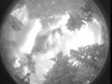
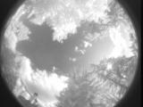
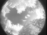
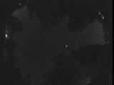
Date: July 3 2025
Time: 02:41:36.290 UTC
|

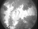
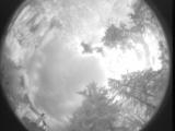
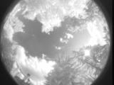
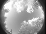
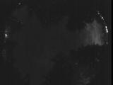
Date: July 3 2025
Time: 02:41:27.842 UTC
|

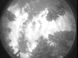
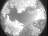
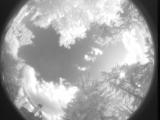
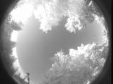
Date: July 3 2025
Time: 01:29:41.79 UTC
|
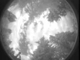
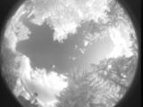
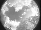
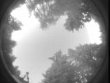
Date: July 3 2025
Time: 01:29:31.627 UTC
|
Date: July 3 2025
Time: 01:29:00.366 UTC
|
Date: July 3 2025
Time: 01:28:46.186 UTC
|
Date: July 3 2025
Time: 00:59:57.756 UTC
|
Date: July 3 2025
Time: 00:32:34.220 UTC
|
Date: July 3 2025
Time: 00:10:32.78 UTC
|
Date: July 3 2025
Time: 00:07:17.185 UTC
|
Date: July 3 2025
Time: 00:06:55.280 UTC
|
Date: July 3 2025
Time: 00:06:34.960 UTC
|
Date: July 3 2025
Time: 00:06:23.143 UTC
|
Date: July 3 2025
Time: 00:06:16.163 UTC
|
Date: July 3 2025
Time: 00:05:47.633 UTC
|
Date: July 2 2025
Time: 13:54:36.561 UTC
|
Date: July 2 2025
Time: 13:44:48.837 UTC
|
Date: July 2 2025
Time: 12:23:01.64 UTC
|
Date: July 2 2025
Time: 10:38:16.486 UTC
|
Date: July 2 2025
Time: 10:21:13.376 UTC
|
|
