WSentinel capture software creates 3 primary event files; composite jpg, video(.mp4), and a spreadsheet(.csv) which contains a timehistory of energy, azimuth/elevation, and pixel mapping for the event as seen from the camera location: (see Spreadsheet Column Definitions here).
NOTE: The az/el data in the spreadsheet are approximations and offline calibration is required for refined assessments. Refined calibrations require use of the nightly composites which are available via the link on the right side of this page.
If you don't see an event, or you are looking for data over 10 days old, please contact us at: 
Node Events (last 30 days)
|
|
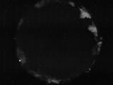
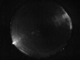
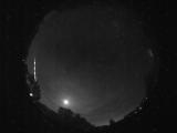
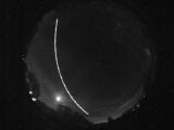
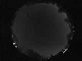
Date: July 5 2026
Time: 05:24:08.904 UTC
|
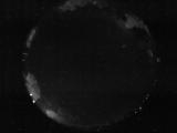
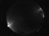
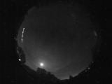
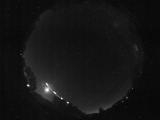
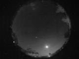
Date: July 5 2026
Time: 05:19:11.623 UTC
|
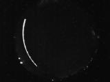
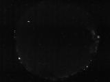
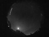
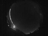
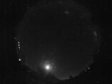
Date: July 5 2026
Time: 05:12:12.846 UTC
|

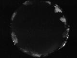
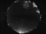
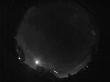
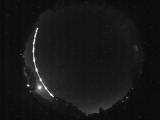
Date: July 5 2026
Time: 04:10:16.888 UTC
|
Date: July 5 2026
Time: 04:06:48.794 UTC
|
Date: July 4 2026
Time: 06:15:03.647 UTC
|
Date: July 4 2026
Time: 05:55:42.379 UTC
|
Date: July 4 2026
Time: 04:53:48.326 UTC
|
Date: July 4 2026
Time: 03:57:58.115 UTC
|
Date: July 3 2026
Time: 08:15:21.974 UTC
|
Date: July 3 2026
Time: 08:15:19.286 UTC
|
Date: July 3 2026
Time: 08:15:15.395 UTC
|
Date: July 3 2026
Time: 07:43:59.234 UTC
|
Date: July 3 2026
Time: 07:43:36.609 UTC
|
Date: July 3 2026
Time: 07:08:46.511 UTC
|
Date: July 3 2026
Time: 07:08:36.246 UTC
|
Date: July 3 2026
Time: 06:26:13.521 UTC
|
Date: July 3 2026
Time: 03:45:38.633 UTC
|
Date: July 2 2026
Time: 10:30:30.364 UTC
|
Date: July 2 2026
Time: 08:12:18.606 UTC
|
|
