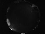
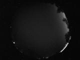
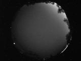
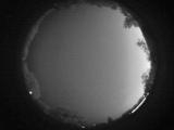
WSentinel capture software creates 3 primary event files; composite jpg, video(.mp4), and a spreadsheet(.csv) which contains a timehistory of energy, azimuth/elevation, and pixel mapping for the event as seen from the camera location: (see Spreadsheet Column Definitions here).
NOTE: The az/el data in the spreadsheet are approximations and offline calibration is required for refined assessments. Refined calibrations require use of the nightly composites which are available via the link on the right side of this page.
If you don't see an event, or you are looking for data over 10 days old, please contact us at: 
Node Events (last 30 days)
|
|
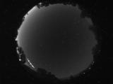
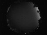
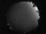
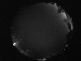
Date: July 19 2026
Time: 11:32:11.890 UTC
|
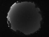
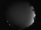
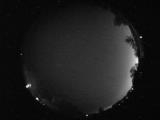
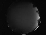
Date: July 19 2026
Time: 11:32:04.655 UTC
|
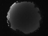
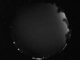
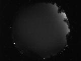
Date: July 19 2026
Time: 11:32:01.765 UTC
|

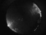
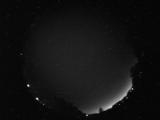
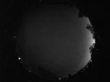
Date: July 19 2026
Time: 11:31:58.858 UTC
|
Date: July 19 2026
Time: 07:00:25.71 UTC
|
Date: July 19 2026
Time: 06:38:11.799 UTC
|
Date: July 19 2026
Time: 06:05:48.447 UTC
|
Date: July 19 2026
Time: 06:03:22.666 UTC
|
Date: July 19 2026
Time: 06:03:13.635 UTC
|
Date: July 19 2026
Time: 05:59:14.385 UTC
|
Date: July 19 2026
Time: 05:58:11.619 UTC
|
Date: July 19 2026
Time: 05:56:56.510 UTC
|
Date: July 19 2026
Time: 05:55:51.208 UTC
|

Date: July 19 2026
Time: 05:55:13.849 UTC
|
Date: July 19 2026
Time: 05:53:43.568 UTC
|
Date: July 19 2026
Time: 05:53:27.583 UTC
|
Date: July 19 2026
Time: 05:52:28.896 UTC
|
Date: July 19 2026
Time: 05:50:18.958 UTC
|
Date: July 19 2026
Time: 05:49:44.505 UTC
|
Date: July 19 2026
Time: 05:48:28.5 UTC
|
|
