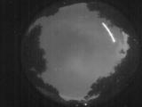
WSentinel capture software creates 3 primary event files; composite jpg, video(.mp4), and a spreadsheet(.csv) which contains a timehistory of energy, azimuth/elevation, and pixel mapping for the event as seen from the camera location: (see Spreadsheet Column Definitions here).
NOTE: The az/el data in the spreadsheet are approximations and offline calibration is required for refined assessments. Refined calibrations require use of the nightly composites which are available via the link on the right side of this page.
If you don't see an event, or you are looking for data over 10 days old, please contact us at: 
Node Events (last 30 days)
|
|

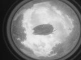
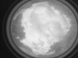
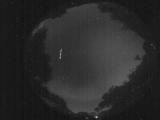
Date: May 8 2026
Time: 23:08:43.531 UTC
|
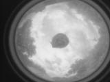
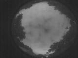
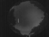
Date: May 8 2026
Time: 23:08:41.261 UTC
|
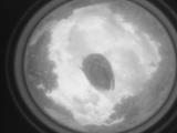
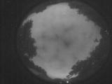
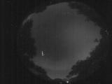
Date: May 8 2026
Time: 23:08:38.591 UTC
|
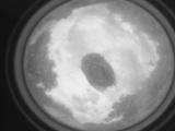
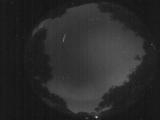
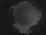
Date: May 8 2026
Time: 23:08:35.351 UTC
|
Date: May 8 2026
Time: 23:08:32.351 UTC
|
Date: May 8 2026
Time: 23:08:30.451 UTC
|
Date: May 8 2026
Time: 02:18:33.783 UTC
|
Date: May 8 2026
Time: 02:18:31.284 UTC
|
Date: May 8 2026
Time: 01:24:01.220 UTC
|

Date: May 8 2026
Time: 01:23:58.990 UTC
|
Date: May 8 2026
Time: 01:23:55.350 UTC
|

Date: May 8 2026
Time: 01:23:53.120 UTC
|
Date: May 8 2026
Time: 01:23:50.181 UTC
|
Date: May 8 2026
Time: 01:23:48.181 UTC
|
Date: May 8 2026
Time: 01:23:46.40 UTC
|
Date: May 8 2026
Time: 01:10:20.935 UTC
|
Date: May 7 2026
Time: 23:33:36.293 UTC
|

Date: May 7 2026
Time: 23:33:33.833 UTC
|

Date: May 7 2026
Time: 23:33:31.622 UTC
|
Date: May 7 2026
Time: 23:33:29.422 UTC
|
|
