WSentinel capture software creates 3 primary event files; composite jpg, video(.mp4), and a spreadsheet(.csv) which contains a timehistory of energy, azimuth/elevation, and pixel mapping for the event as seen from the camera location: (see Spreadsheet Column Definitions here).
NOTE: The az/el data in the spreadsheet are approximations and offline calibration is required for refined assessments. Refined calibrations require use of the nightly composites which are available via the link on the right side of this page.
If you don't see an event, or you are looking for data over 10 days old, please contact us at: 
Node Events (last 30 days)
|
|
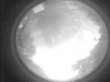
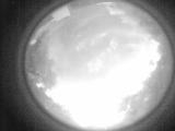
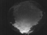
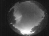
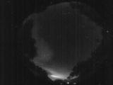
Date: May 25 2026
Time: 08:34:58.892 UTC
|
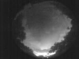
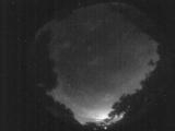
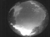
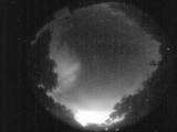
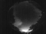
Date: May 25 2026
Time: 08:29:34.779 UTC
|
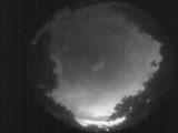
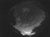
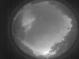
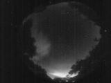
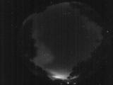
Date: May 25 2026
Time: 08:23:56.326 UTC
|
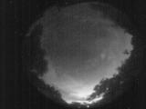
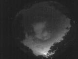
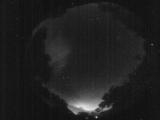
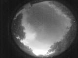
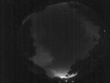
Date: May 25 2026
Time: 08:19:12.621 UTC
|
Date: May 25 2026
Time: 08:14:55.706 UTC
|
Date: May 25 2026
Time: 08:08:11.225 UTC
|
Date: May 25 2026
Time: 08:02:45.982 UTC
|
Date: May 25 2026
Time: 07:56:34.959 UTC
|
Date: May 25 2026
Time: 07:52:16.744 UTC
|
Date: May 25 2026
Time: 07:47:37.209 UTC
|
Date: May 25 2026
Time: 07:43:07.824 UTC
|
Date: May 25 2026
Time: 07:39:55.238 UTC
|
Date: May 25 2026
Time: 07:39:13.968 UTC
|
Date: May 25 2026
Time: 07:37:46.480 UTC
|
Date: May 25 2026
Time: 07:36:25.772 UTC
|
Date: May 25 2026
Time: 07:35:27.382 UTC
|
Date: May 25 2026
Time: 07:34:10.374 UTC
|
Date: May 25 2026
Time: 07:32:32.515 UTC
|
Date: May 25 2026
Time: 07:32:22.876 UTC
|
Date: May 25 2026
Time: 07:30:55.458 UTC
|
|
