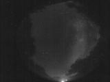
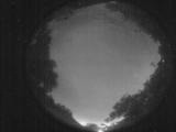
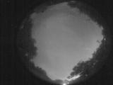
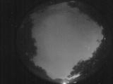
WSentinel capture software creates 3 primary event files; composite jpg, video(.mp4), and a spreadsheet(.csv) which contains a timehistory of energy, azimuth/elevation, and pixel mapping for the event as seen from the camera location: (see Spreadsheet Column Definitions here).
NOTE: The az/el data in the spreadsheet are approximations and offline calibration is required for refined assessments. Refined calibrations require use of the nightly composites which are available via the link on the right side of this page.
If you don't see an event, or you are looking for data over 30 days old, please contact us at: 
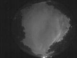
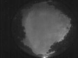
Node Events (last 30 days)
|
|
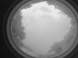
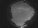
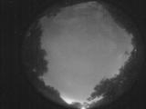
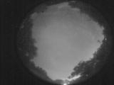
Date: July 23 2025
Time: 23:31:29.623 UTC
|
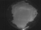
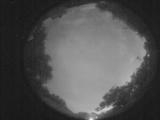
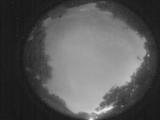
Date: July 23 2025
Time: 08:50:50.184 UTC
|
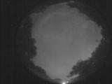
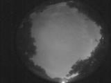
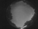
Date: July 23 2025
Time: 03:29:11.141 UTC
|
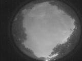
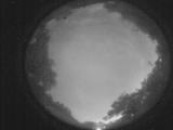
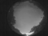
Date: July 23 2025
Time: 03:17:16.524 UTC
|
Date: July 23 2025
Time: 03:05:18.339 UTC
|
Date: July 23 2025
Time: 03:03:58.562 UTC
|
Date: July 23 2025
Time: 02:57:30.721 UTC
|
Date: July 23 2025
Time: 02:49:41.514 UTC
|
Date: July 23 2025
Time: 02:45:21.131 UTC
|
Date: July 23 2025
Time: 02:44:32.853 UTC
|
Date: July 23 2025
Time: 02:44:08.833 UTC
|
Date: July 23 2025
Time: 02:43:23.625 UTC
|
Date: July 23 2025
Time: 02:42:08.987 UTC
|
Date: July 23 2025
Time: 02:40:10.570 UTC
|
Date: July 23 2025
Time: 02:37:57.142 UTC
|
Date: July 23 2025
Time: 02:37:32.123 UTC
|
Date: July 23 2025
Time: 02:35:48.924 UTC
|
Date: July 23 2025
Time: 02:35:40.115 UTC
|

Date: July 23 2025
Time: 02:34:06.697 UTC
|
Date: July 23 2025
Time: 02:34:00.757 UTC
|
|
